


Drawing 3d approach & departure paths on google maps

Thread Starter

Joined: Jul 2000
Posts: 1,735
Likes: 21
From: Used to be God's own County
Drawing 3d approach & departure paths on google maps
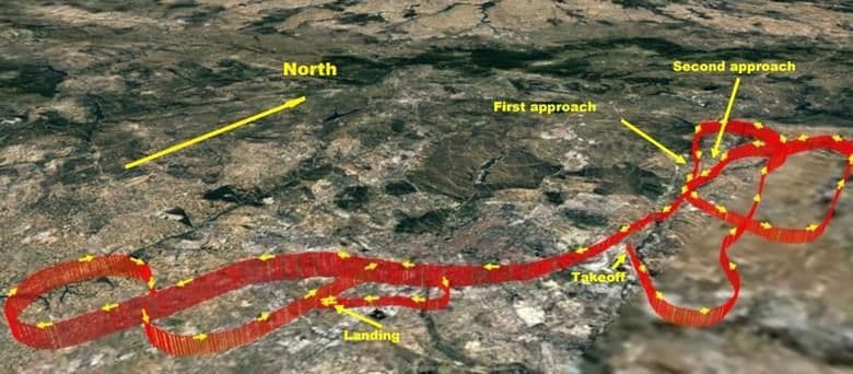
I have a landing site and I want to draw approach and departure flight paths with specific climb and descent profiles on my google map.
I have 'googled' but get lost in all and sundry.
Would very much appreciate a link to a simple tutorial.
You know the sort of thing, flight crash reports are full of the stuff !!
Thanks in advance
I have 'googled' but get lost in all and sundry.
Would very much appreciate a link to a simple tutorial.
You know the sort of thing, flight crash reports are full of the stuff !!
Thanks in advance

