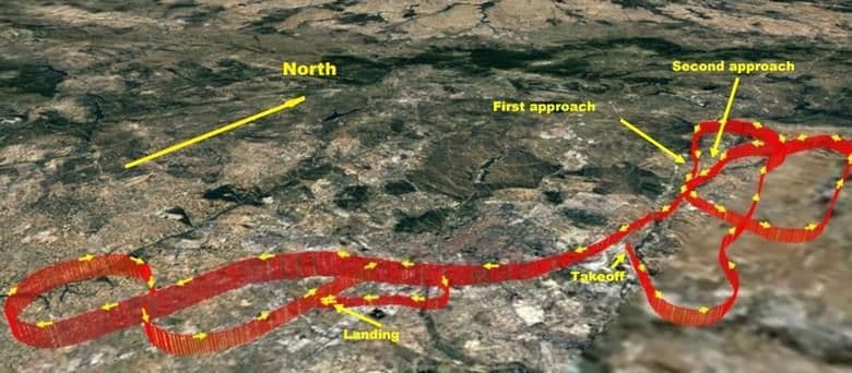
I have a landing site and I want to draw approach and departure flight paths with specific climb and descent profiles on my google map.
I have 'googled' but get lost in all and sundry.
Would very much appreciate a link to a simple tutorial.
You know the sort of thing, flight crash reports are full of the stuff !!
Thanks in advance
