Personally, I do not understand the brouhaha with regards to the lack of training opportunities for VOR approaches now. IT wouldn't take any great feat to program a user-waypoint at any of the old VOR sites and then, using OBS mode on the GNSS, fly a simulated VOR-approach. There are several ways out there to print your own instrument approach chart for training use, it just requires a little thinking outside the box.
Rather than naysaying "It can't be done", try to find ways to
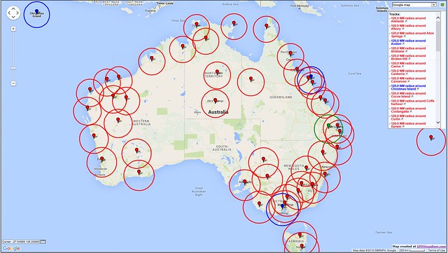
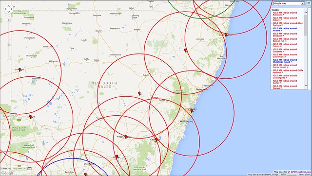
get it done. Whinging on Prune isn't going to bring a VOR back...And for reference, here's the BNN VOR Coverage at 5K and 10K.
Nationwide coverage at 10,000'. Red is ASA, Blue is private. Green is DoD.
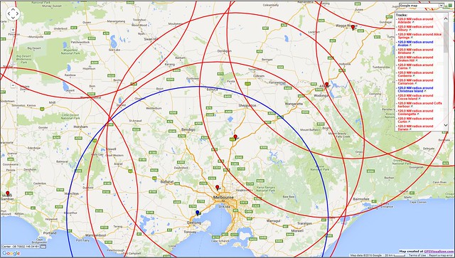
Victoria 5,000'.
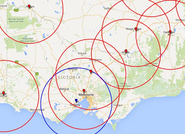
Victoria 10,000'.
NSW 5,000'.
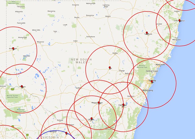
NSW 10,000'.
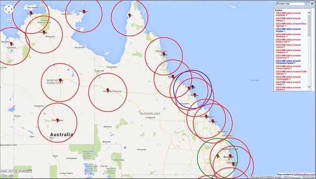
Queensland 5,000'.
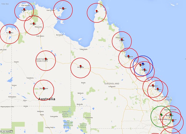
Queensland 10,000'.