Originally Posted by
TEEEJ
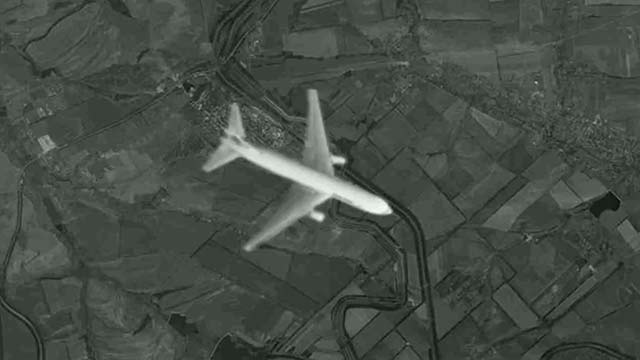
The latest nonsense being presented by Russian media. Claims of it being leaked and taken by a "US or British satellite"
That image (7406*5000 pixels, 1.5MB) can be downloaded
here (the "Скачать" button). Part of that image from website of Russian 1st TV channel:
https://img1.1tv.ru/imgsize640x360/PR20141114192215.JPG
Compare with a screenshot:
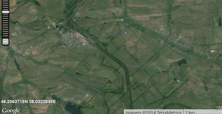
It's a (cropped) screenshot of
http://old.wikimapia.org/#lat=48.206...5&z=12&l=0&m=s
1. Note the 2 km ruler in the lower right corner of the screenshot. If looking from the lowest possible orbit (160 km from satellite to ground, 150 km from satellite to the plane), the plane appears 5 km long.
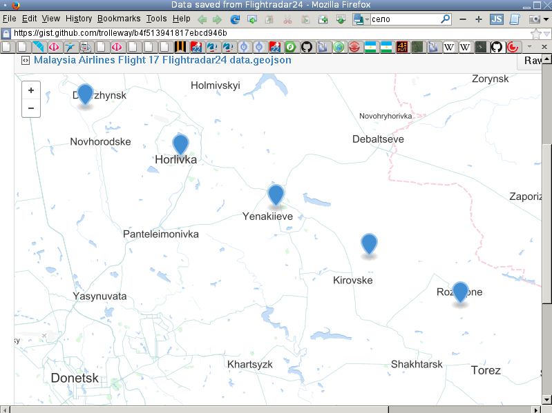
2. The image depicts the plane over Panteleimonivka village in Donetsk region:
http://wikimapia.org/#lang=en&lat=48...89349&z=12&m=b
MH17 flew 13 km to the north:
https://gist.github.com/trolleway/b4f513941817ebcd946b