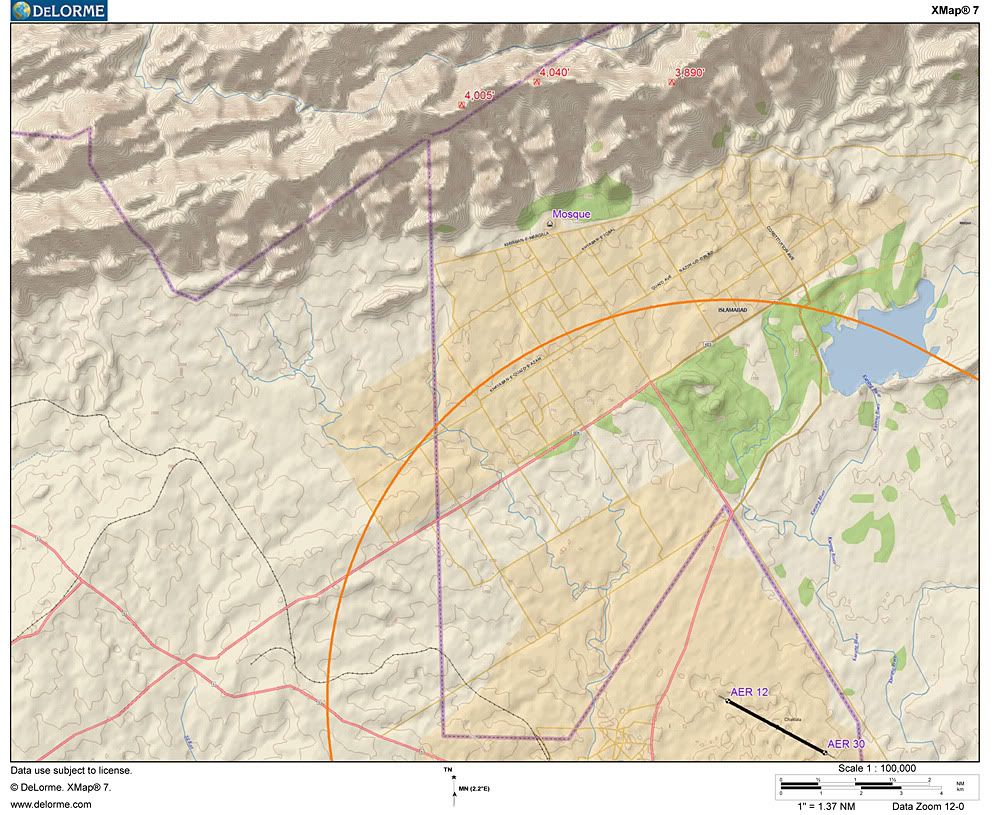
Here is a much better topographical rendering than the one I submitted earlier in the thread. The topo program I use recently began offering a world-wide 1:250,000 geo-referenced topo map derived from the Space Shuttle mapping flight made a few years ago. Jeppesen considers the data, as implemented by Delorme, to be sufficient for Jeppesen's purposes, so they have bought into these topo data.
I also changed the CTL airspace from 5.2 to 5.4 n.m. in this rendering.