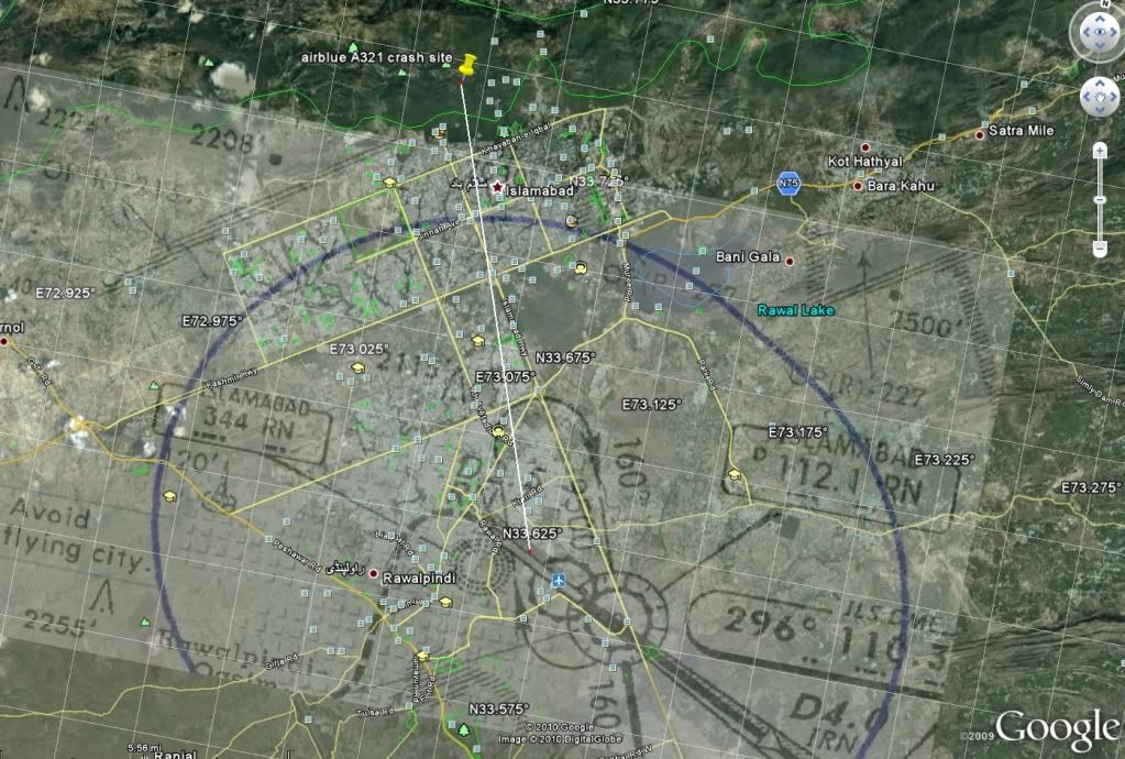
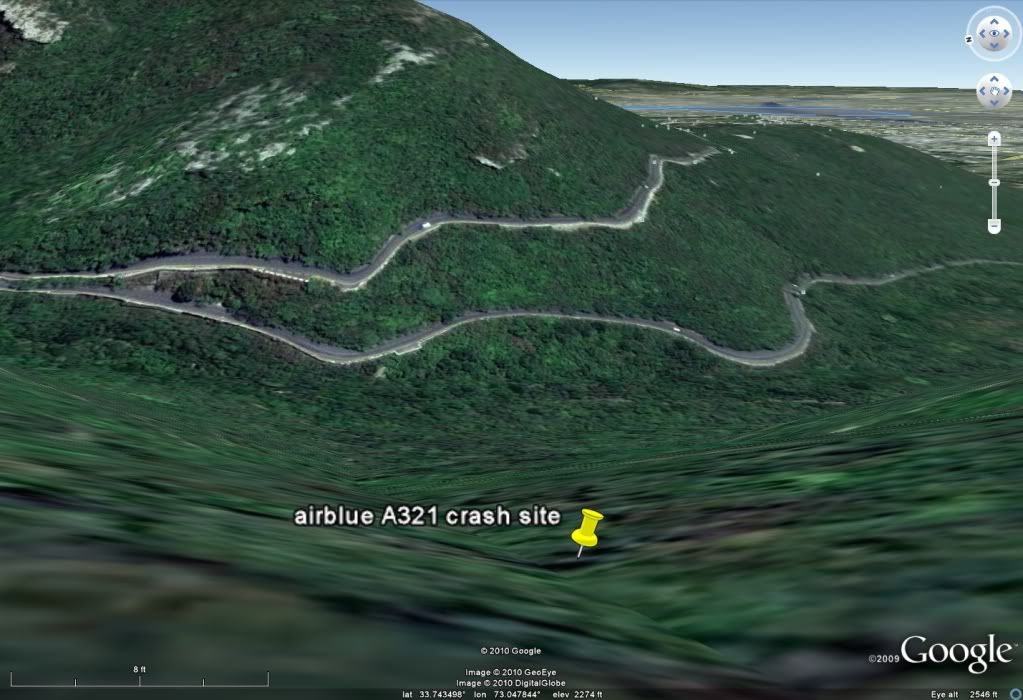
Crash site location thanks to
Machaca,
aterpster,
BrooksPA-28.
Brooks, your lat and long are probably the more accurate - this is a small amount further West, now that I look at it. The lat/long in the image below is in decimal degrees. Machaca's posted photo below, to compare.
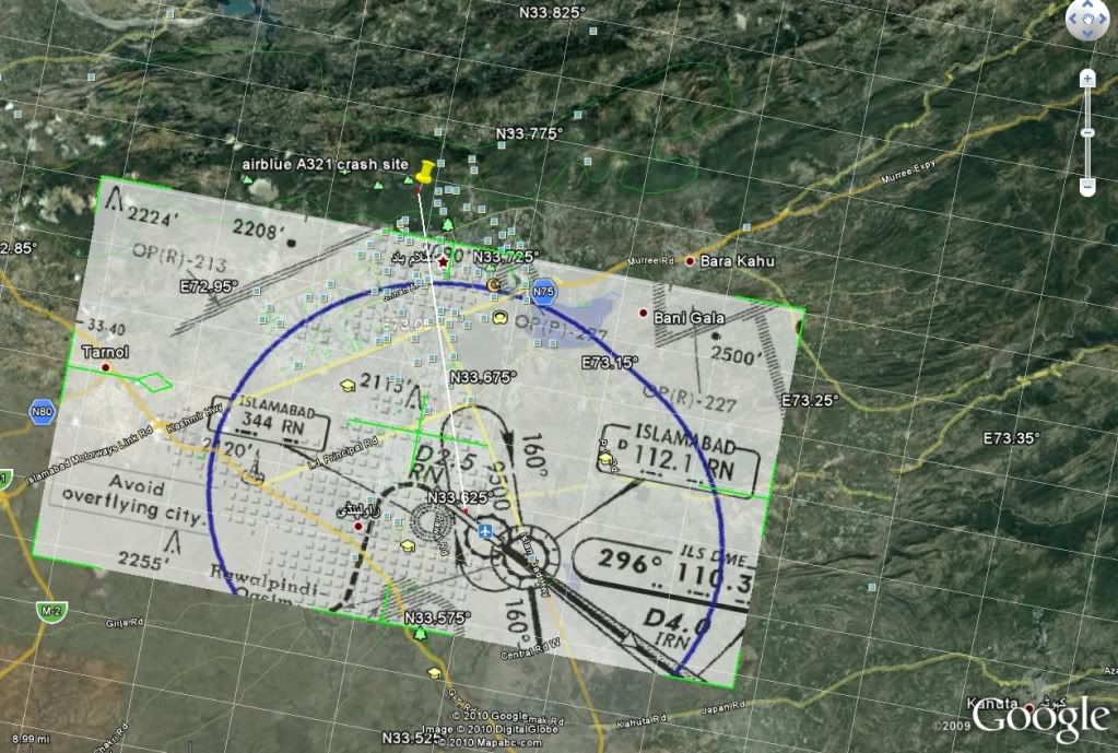
The chart from
aterpster showing the protected circling area indicated is helpful if only to see how far outside the circling area the crash site is.
Wally Roberts' discussion of FAR and ICAO PAN-OPS Circling Procedures is well worth reading and may be found
here, (1996) and
here, (1997).
Cap'n Crunch, well said.
PJ2