Originally Posted by
Advance
Nobody can answer that without knowing the precise circumstances of the unfortunate events of the specific CAB accident.
For many years the statistics here have been way way worse than in the USA just as the CASA study and the FDR post demonstrate.
But having flown in both countries I know which has the safer procedures and ATS systems and over long periods the statistics are reliable.
In the 70's when I started flying in the US NAS, VFR was risky. Doing that both in civil and in military aircraft, none of it was relaxing. The addition of NEXRAD and ADSB 1090 or UART made that far more comfortable. Flying helicopters low level around LAX, ATL, MIA, ORD was uncomfortable in the old days, doing the same with ADSB IN on top of all other procedures improves SA markedly. The argument that not everyone has a transponder, and not all transponders work is quite valid, this doesn't reduce the obligations to meet all other communications and operational procedures, including the basic rules of the air, but it helps, a lot.
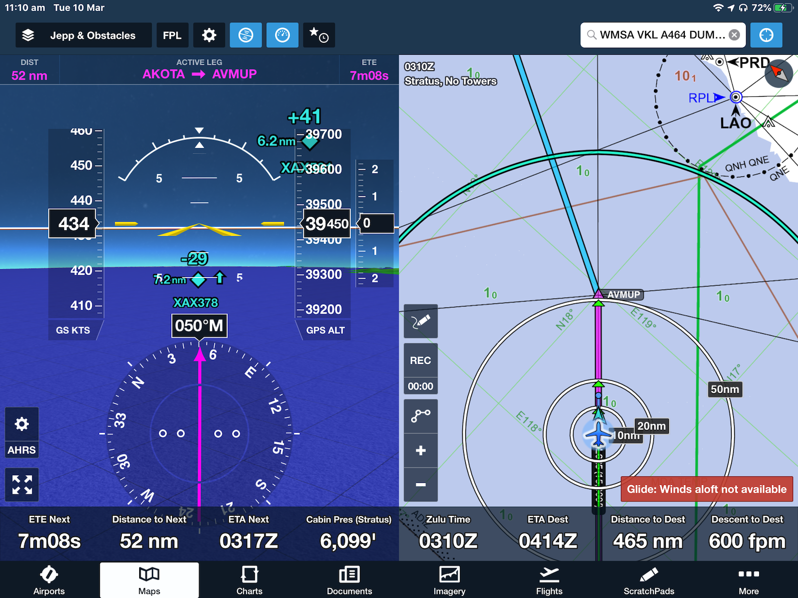
In the screenshot below, the two aircraft are shown on the map with a relative position azimuth and elevation that assists in getting a visual contact. The rest of the information, in this case the aircrafts callsign and distance is shown clearly. selecting the traffic on the map brings up their course, groundspeed, height, and. their registration/type of aircraft dependent on their mode of output. Within Australia, Ozrunways traffic information display is also good, however it requires the cell coverage to get the uplink of the data. The display below operates independently of ground stations.