Originally Posted by
binbrook
I don't know about the 1930s, but those of us of a certain age will remember how we made our way from El Adem to Nairobi in the late 50s. Get round Nasser's Corner, head for the Nile and turn south when you could see the dark vegetation along it, using the dangleometer (made in station workshops) to estimate how far away it was. That should ensure that you passed Khartoum within VHF range to ask for the NDBs at El Obeid and Juba to be transmitting at your ETAs. Turn left at Entebbe.
Coming north the track to Nasser's Corner was more direct, and AFAIR there was a useful escarpment which came to an end more or less on track. If you saw it but couldn't see the end, you were too far east, and if it didn't come up on time you were too far west. The topos were pre-war Egyptian Army OS with info like 'Black Rocks' and 'Crescent Shaped Dunes' (still there), plus the waterholes, and I wish I'd nicked one.
I'll now finish my afternoon nap.
Nasser's Corner.
The NDBs at El Obeid and Juba used the same power point as the kettle so were randomly available.
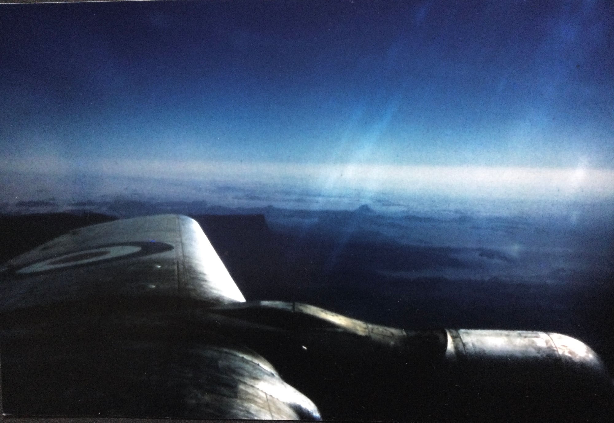
This was taken from a 70 Sqn Hastings paxing Nicosia, El Adem ,Khartoum ,Khormaksar. Took for ever. In a PR7 we could do it in about 5 hours and we had Green Satin which helped.