


Navigation in the 1930s

Thread Starter
Navigation in the 1930s
I was wondering what charts an airline crew used to navigate with on the Empire routes in the 1930s?Also did they have any charts of the airfields or seaplane bases? I would imagine that they must have also carried tide tables for the seaplane bases. Any information gratefully received.

Don't know about the 30s but when I started in 1955 there were no SIDs, STARs or TAPs. I seem to remember that a guy called Jeppesen was makin a few sketches and notes as he flew around the States. RAF EnRoute charts started circa 1961. So I suspect the 1930s were using topographical maps, astro when it was dark and suck-it-and-see on arrival (Look at the signal square). No let down aids either. (Find a gap or keep a very good eye on Safety Alt.) A good reason to use seaplanes on the Imperial route.
Later thought; Don't know when NDBs started?
Later thought; Don't know when NDBs started?
Last edited by Four Turbo; 8th Mar 2022 at 10:36. Reason: Later thought
Hello Tubby,
I've got a copy of Bennett's "Complete Air Navigator" first published in 1936.
A quick glance at it shows: Chapter VI - Tides. A complete and fulsome explanation of everything you ever wanted to know about Tides (or so it seems to me!) with section 5. Tide Tables referring to British Admiralty Tide Tables.
It then gives a very comprehensive briefing on how to use them. Another quick glance mentions things like; Standard ports, Secondary ports, Tidal Differences etc. It goes into loads of detail but I have a feeling it also briefs (a Navigator) on not only how to use them, but how to estimate a tide at any intermediate point and what tidal stream may be expected at any point, should one have to put one's "C" class down. Or, should I say "alight upon the sea!"
Somewhere I've also got a copy of Chichester's "Lonely Sea and Sky" in which he describes his navigation over vast stretches of water, in an open cockpit biplane. I'm not sure if it is in his book, but somewhere I've seen a copy of his plotting chart for a Trans-Tasman flight. That book might give a further insight.
Cheers,
BSD.
Thread Starter
Having written my original post I found in the back of a forgotten book a small amount of notes for BOAC first officers of C class aircraft issued in 1944.The document mentions collecting the appropriate map from the Station Manager plus a variety of publications including a route book , duplicate navigational logs and the Corporation’s Secret Handbook, which included codes and cyphers.There is no mention of tide tables. No dedicated navigator was carried and navigation seems to have been a case of following roads, railways and rivers and sometimes getting very lost.
Blind landings at Lindi station are discussed in the linked clip below. The man talking was the Imperial manager of the station.
Blind Landings ? the audio ? White Water Landings
Blind landings at Lindi station are discussed in the linked clip below. The man talking was the Imperial manager of the station.
Blind Landings ? the audio ? White Water Landings
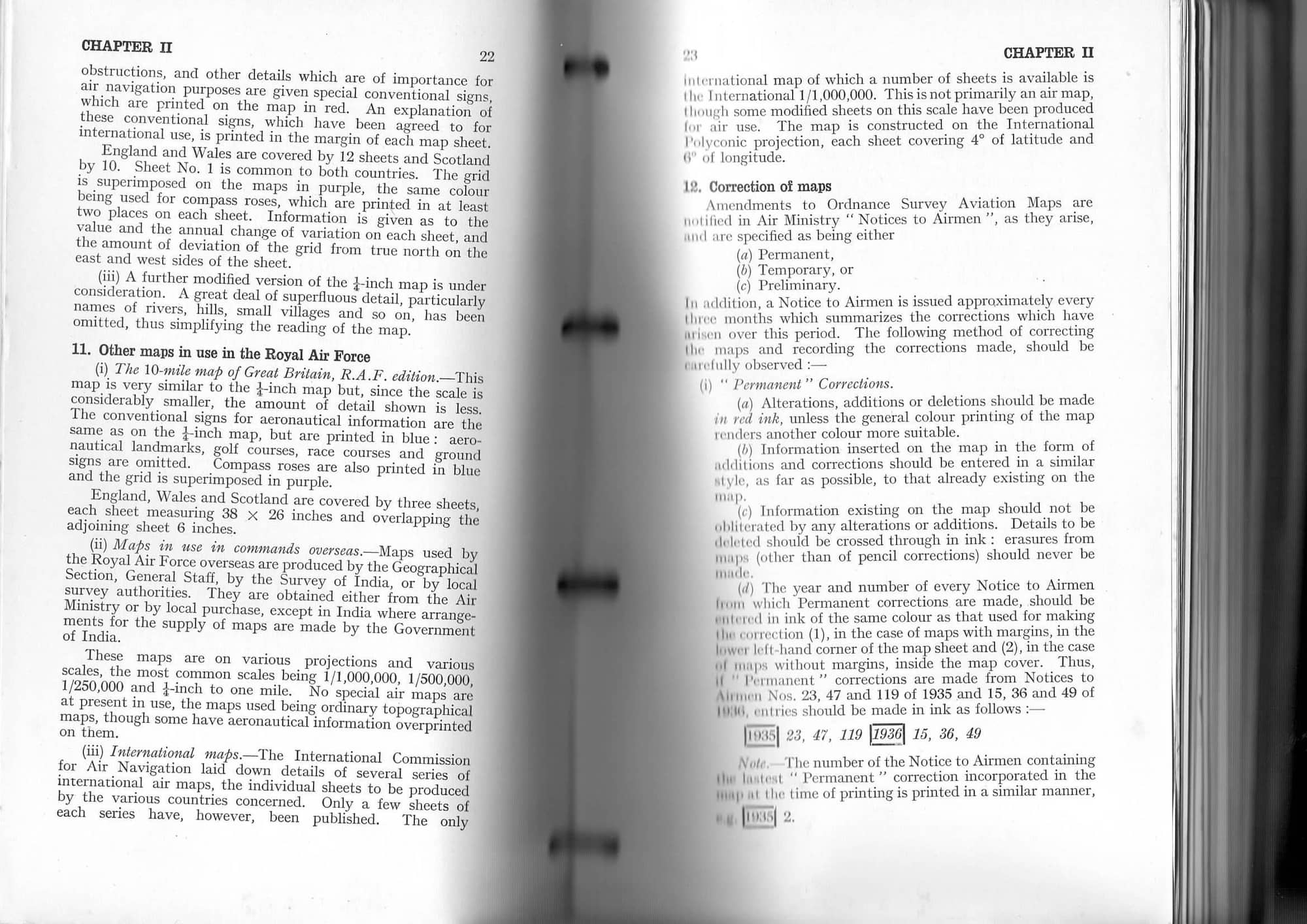
Here is a scan of AP1234 "Manual of Air Navigation", revised April 1935, reprinted April 1938 that hints at the maps that were available to the RAF at that time. It also has a chapter on charts but that mainly seems to deal with the difference between RAF and Royal Navy nomenclature.
Join Date: Dec 2013
Location: humzaland
Posts: 143
Likes: 0
Received 0 Likes
on
0 Posts
I don't know about the 1930s, but those of us of a certain age will remember how we made our way from El Adem to Nairobi in the late 50s. Get round Nasser's Corner, head for the Nile and turn south when you could see the dark vegetation along it, using the dangleometer (made in station workshops) to estimate how far away it was. That should ensure that you passed Khartoum within VHF range to ask for the NDBs at El Obeid and Juba to be transmitting at your ETAs. Turn left at Entebbe.
Coming north the track to Nasser's Corner was more direct, and AFAIR there was a useful escarpment which came to an end more or less on track. If you saw it but couldn't see the end, you were too far east, and if it didn't come up on time you were too far west. The topos were pre-war Egyptian Army OS with info like 'Black Rocks' and 'Crescent Shaped Dunes' (still there), plus the waterholes, and I wish I'd nicked one.
I'll now finish my afternoon nap.
IIRC, there was a furrow ploughed across the Egyptian desert for the Imperial airliners to follow to keep on course.
"Flying the Furrow"
https://archive.aramcoworld.com/issu...the.furrow.htm
Rutbah Wells features prominently in this article.
It was southwest of Rutbah Wells, that the KLM DC-2 Uiver PH-AJU (second in the MacRobertson London to Sydney Air Race, behind the DH Comet) crashed in December 1934.
http://www.ephemeraltreasures.net/uiver-part-1.html
Last edited by India Four Two; 10th Mar 2022 at 03:36.
It was southwest of Rutbah Wells, that the KLM DC-2 Uiver PH-AJU (second in the MacRobertson London to Sydney Air Race, behind the DH Comet) crashed in December 1934.
Triumph & Tragedy: ~ The story of the KLM DC-2 Uiver (Part 1)
Triumph & Tragedy: ~ The story of the KLM DC-2 Uiver (Part 1)

Join Date: Jun 2023
Location: London
Posts: 1
Likes: 0
Received 0 Likes
on
0 Posts
I was looking for information about two aviation charts that I acquired at a book fare recently and saw your post. These may answer your question - at least in part. The charts were created by Stanford, which is a long established map and travel specialist based in London. There is a reference date 1934. It appears that the charts were custom made using existing maps cut down to fit into a concertina map book. The courses and distances between major cities/ transit points have been inked in and information about airports, compass roses, and the key have been pasted in, and then varnished.
I am sure that they will have been made for the first two legs of the Imperial Airways route (London, Croydon to Athens and Athens to Baghdad) to Australia, where regular services were established in 1934, although whether these particular maps saw the inside of a plane, I am not as sure as they are in excellent condition.
I tried to attach some photos, but the site said I cannot use URLs until I have posted 8 times, so I have used quick reply. I have not used any URLs, so I don't understand why I was blocked. I am happy to send you the photos another way.
Jack Bamford's book "Croissants at Croydon"
is about his experience from 1920-39 as Air France manager in London. Although admin rather than detailed ops, he inevitably makes reference to a range of navigation aspects during his time, starting with aerodrome staff firing Very Pistols into the air to draw attention to aircraft. Then in WW2 he went into the RAF and managed a fascinating trip to the USA, describing astral nav across the Atlantic, and the "aerial lighthouses" that were erected on mountaintops there to facilitate night air mail services across the country.
Interesting website about this topic:
Historical Aviation Maps ? Air Traffic Control History
Historical Aviation Maps ? Air Traffic Control History
Join Date: Jun 2007
Location: Beyond the Blue Horizon
Age: 63
Posts: 1,257
Received 150 Likes
on
93 Posts
Alexandra Fraters Book beyond the Blue Horizon is a good read about the old Imperial routes East to Australia, and mentions the furrow in Iraqi desert ,and also a bit on sea plane operations. He travels to all the old bases to see what is left. It is also a good travel read, and almost historic now as he did the trip to all the old bases in the early 1980,s, and it is interesting to see how the world and indeed places have changed since then.
Cheers
Mr Mac
Cheers
Mr Mac

When I took a 30's aeroplane through the M east in the 80's I had a 1,000,000 chart, but it was rather scant on detail** plus dubious updates which was evident during the transit Syria to the Gulf States.
One particular leg required following an oi pipeline (to be sure) and there were two duly depicted., however on reaching said area the two pipelines popped up as expected (amazing) followed by a third which begged the question which was the new one as they all looked the same and were partially buried in the sand UMM.
At times like that I would have rather been on a Croydon to Paris commemorative event. We were lavishly equipped with the good old P8 built in the east end of London.
** No military airbases and old forts.
There used to be a big black splodge from an oil well spillage in the Empty Quarter that was shown on a Topo in the 1970s. I saw it in 1977 from a Viscount from Muscat to Sana'a.
We also saw two camels and Bedouin Arabs in the middle of nowhere. Nothing to be seen in any direction but I guess they knew where they were going.
It's called "The Empty Quarter", for a reason.
We also saw two camels and Bedouin Arabs in the middle of nowhere. Nothing to be seen in any direction but I guess they knew where they were going.
It's called "The Empty Quarter", for a reason.
I don't know about the 1930s, but those of us of a certain age will remember how we made our way from El Adem to Nairobi in the late 50s. Get round Nasser's Corner, head for the Nile and turn south when you could see the dark vegetation along it, using the dangleometer (made in station workshops) to estimate how far away it was. That should ensure that you passed Khartoum within VHF range to ask for the NDBs at El Obeid and Juba to be transmitting at your ETAs. Turn left at Entebbe.
Coming north the track to Nasser's Corner was more direct, and AFAIR there was a useful escarpment which came to an end more or less on track. If you saw it but couldn't see the end, you were too far east, and if it didn't come up on time you were too far west. The topos were pre-war Egyptian Army OS with info like 'Black Rocks' and 'Crescent Shaped Dunes' (still there), plus the waterholes, and I wish I'd nicked one.
I'll now finish my afternoon nap.
Coming north the track to Nasser's Corner was more direct, and AFAIR there was a useful escarpment which came to an end more or less on track. If you saw it but couldn't see the end, you were too far east, and if it didn't come up on time you were too far west. The topos were pre-war Egyptian Army OS with info like 'Black Rocks' and 'Crescent Shaped Dunes' (still there), plus the waterholes, and I wish I'd nicked one.
I'll now finish my afternoon nap.
Nasser's Corner.
The NDBs at El Obeid and Juba used the same power point as the kettle so were randomly available.
This was taken from a 70 Sqn Hastings paxing Nicosia, El Adem ,Khartoum ,Khormaksar. Took for ever. In a PR7 we could do it in about 5 hours and we had Green Satin which helped.