Originally Posted by
hargreaves99
I have used SkyDemon and
https://notaminfo.com/ukmap to get NOTAMS for a few years..I thought I would try to go back to the
official NATS website to get NOTAMS.
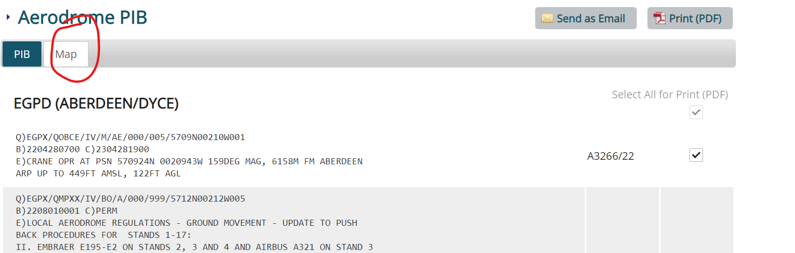
The NATS website STILL seems to only list NOTAMs in raw text format
Does anyone know if there is anyway to get the NATS site to plot them on a map?
I know we are all supposed to know lat and long, but do NATs/CAA seriously expect us to plot these restrictions on a chart? It seems rather cumbersome/time consuming these days, and surely this will put people off doing this?
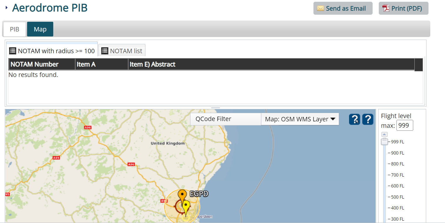
Yes, there is a map option, no idea how to show you on pprune though. Ive tried to attach below: