


Flying over/under the world

Thread Starter
Join Date: Sep 2010
Location: location loaction
Posts: 221
Likes: 0
Received 0 Likes
on
0 Posts
Flying over/under the world
Was chatting to some LAMEs the other day and an interesting conversation crept up.
Do airlines conduct flights over or under the globe to shorten flight times? Surely a flight that goes from say Melbourne over the south pole to South America would be a shorter route? After going through my ATPLs I understand they had trouble with the navigation systems by means of inertial navigation etc but do they still have the same problems with the more modern laser systems?
rocket

Yes, they do. Great circle tracks. The shortest point between 2 places on the earth isn't always in a straight line.
Great Circle Mapper
Have a look.
morno
Great Circle Mapper
Have a look.
morno

 FES (Flat Earth Society) believers will beg to differ on that one:-))
Cathay operate HKG-JFK which from memory goes within about 60nm of the north pole. Relatively speaking, there are plenty of airports there though.
The most isolated RPT flight is probably the QF17/18 which is the SYD direct Buenos Aires flight (soon to be no more incidentally). This flight is restricted to north of 72S for some reason. The direct track would take it slightly further south than that. Still, it's frightening enough when you realise at your furthest point from an acceptable airport you are some 7 hours should you depressurise. Don't even think about the fire scenario as you'd frankly never get on the thing.
There is a limitation in the ops manual regarding operations greater than 89 degrees north or south which I can't find. I think it requires reference to true rather than magnetic north but there's no reason these days why aircraft can't operate over the poles.
Solar radiation is of concern at the higher latitudes.
Thread Starter
Join Date: Sep 2010
Location: location loaction
Posts: 221
Likes: 0
Received 0 Likes
on
0 Posts
So why is solar radiation of concern around the poles? I thought flights at or exceeding FL490 were required to carry and monitor the levels but ofcourse most airliners I assume would have trouble getting that high.
Join Date: Apr 2008
Location: here, there and about....
Posts: 51
Likes: 0
Received 0 Likes
on
0 Posts
[QUOTE]Was chatting to some LAMEs the other day and an interesting conversation crept up.
Do airlines conduct flights over or under the globe to shorten flight times? Surely a flight that goes from say Melbourne over the south pole to South America would be a shorter route? After going through my ATPLs I understand they had trouble with the navigation systems by means of inertial navigation etc but do they still have the same problems with the more modern laser systems?
rocket/QUOTE]
You mean polar routes, yep many airlines are operating on them now.
Plenty of info around if google - Polar Routes.
GC tracks are not always cost effective, and most flight planning systems these days are capable of calculating min fuel or min cost tracks.
We often go exactley over the North Pole going DXB-LAX or SFO.
Inertial Nav works just fine in Polar regions, you use true rather than Magnetic.
Radiation is worse at the poles due to the Earths Magnitosphere not being as effective at absorbing mcrowaves at high latitudes.
Inertial Nav works just fine in Polar regions, you use true rather than Magnetic.
Radiation is worse at the poles due to the Earths Magnitosphere not being as effective at absorbing mcrowaves at high latitudes.
Singapore Airlines Eastbound To/From Newark (21 January 2012) - Featured Map - Great Circle Mapper shows SIN-NY directly over the north geographic pole, but they fly 10% longer to chase winds.
And as for under, EDTO options are far more limiting, as well as less demand for routes.
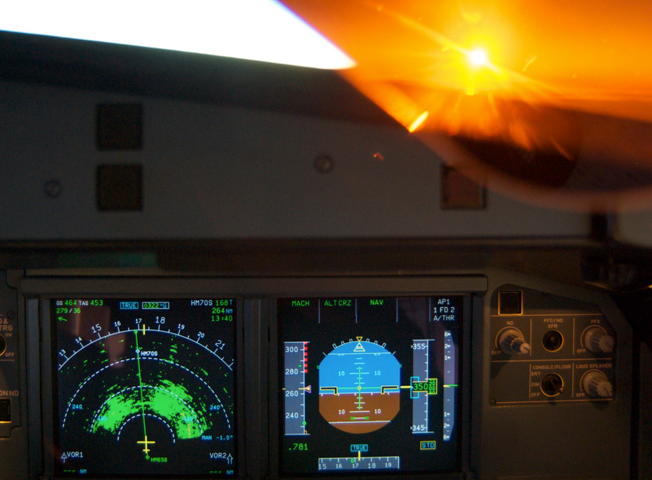
Here's a picture for you to ponder.
And as for under, EDTO options are far more limiting, as well as less demand for routes.
Here's a picture for you to ponder.

Remember those pictures at school of a bar magnet & iron filings visualising magnetic field lines? How the lines all lead to the poles of the magnet? Earth's magnetic field has the same form.
Electrons & protons from the solar wind get trapped by the magnetic field & travel along the field lines to the poles - they generate the aurora. They can penetrate the atmosphere to quite a low altitude - how far is somewhat variable.
Electrons & protons from the solar wind get trapped by the magnetic field & travel along the field lines to the poles - they generate the aurora. They can penetrate the atmosphere to quite a low altitude - how far is somewhat variable.

Thread Starter
Join Date: Sep 2010
Location: location loaction
Posts: 221
Likes: 0
Received 0 Likes
on
0 Posts
Heres hoping this black duck crews one of those flights one day.
So on an average flight what kind of time is saved by going under rather than round?
So on an average flight what kind of time is saved by going under rather than round?

Getting back to the original poster's question - three and four engine jets have been flying polar routes for many years - it has recently become possible for twin engine jets (previously limited by ETOPs rules) to do the same:
Mind the sleigh! Airlines given permission to fly over North Pole for the first time slashing the hours to exotic destinations | Mail Online
(Of course, the FAA's willingness to extend ETOPs would have nothing to do with the number of large twin engine aircraft Boeing is making now-a-days") )
)
Given that both poles are uninhabited, there is always a long flight to find a destination worth going to in one hop, so flying "around" the planet generally makes more sense, as that's where the (fare paying) people live
Mind the sleigh! Airlines given permission to fly over North Pole for the first time slashing the hours to exotic destinations | Mail Online
(Of course, the FAA's willingness to extend ETOPs would have nothing to do with the number of large twin engine aircraft Boeing is making now-a-days
Given that both poles are uninhabited, there is always a long flight to find a destination worth going to in one hop, so flying "around" the planet generally makes more sense, as that's where the (fare paying) people live
Join Date: May 2009
Location: Australia, maybe
Posts: 559
Likes: 0
Received 0 Likes
on
0 Posts
Fathom,
Well obviously if it was an 'Antarctic Square', there would be a much sharper line showing in the radar returns. 
Didn't know the Antarctic was a circle?