


Help with a silk map


Thread Starter
Join Date: Feb 2018
Location: Hong kong
Posts: 4
Likes: 0
Received 0 Likes
on
0 Posts
Help with a silk map
Anyone know who might be able to help with a bit of history around an old silk escape map? I know there were common in WW2 but have come across one that unusually seems to be of China and was trying to find out a bit more about it...

Here would be a good start:
history of wwii british cloth escape maps
https://en.m.wikipedia.org/wiki/MIS-X
Fascinating stuff and I learned a new distance unit (presumably a typo) : chilometer.
history of wwii british cloth escape maps
https://en.m.wikipedia.org/wiki/MIS-X
Fascinating stuff and I learned a new distance unit (presumably a typo) : chilometer.

Thread Starter
Join Date: Feb 2018
Location: Hong kong
Posts: 4
Likes: 0
Received 0 Likes
on
0 Posts
Perfect thank you so much! Seems it is a Hutton 44R from WWII ! Very kind of you to take the time to reply. The owner will be chuffed to know a bit more about its history (tips hat to you)
You are welcome. I’ve always been interested in maps and my research taught me some new things.
Join Date: Oct 1998
Location: Kalgoorlie, W.A. , Australia
Age: 86
Posts: 458
Likes: 0
Received 0 Likes
on
0 Posts
The USAAF may well have shut up shop in June 1945 but the R.A.F. and MI whatever carried on into the Cold War and perhaps even to this very day.
I know that Lincoln crew where supplied with maps of Eastern Europe because they were expected to walk home. Their targets being well beyond the out and back range of their aircraft.
If this continued into the V force era perhaps BEagle had a map guiding him to his Yurt where his Mongolian maiden eagerly awaited!
Also some special maps were printed on silk as "souvenirs" of major agreements following the delineation of boundaries
I've seen one of a few square miles of the Argentinean-Chile Boundary dating from the late '60's where they had to redefine the border in a valley up in the Andes. There were apparently the Treaty Copies on paper all with signatures and Seals, and then a small number of silk copies as well handed out to the Good & the Great involved.
As opposed to the usual weasel words along the bottom of 99.99% of maps this is the only map I've ever seen that WAS " an Authority on political boundaries".. .
Gentleman Aviator
There were certainly equivalent (not silk but some artificial material) maps in Gulf War 1.
Was a plasticky material that had the same ability to "scrunch" up very small without permanent damage.
Was a plasticky material that had the same ability to "scrunch" up very small without permanent damage.
I've seen one of a few square miles of the Argentinean-Chile Boundary dating from the late '60's
yes - believe it or not the Argentinean - Chile border disputes are refereed by Queen in London (tho clearly this hasn't happened in a while..) - she has other things to do so asks the Royal Geographical Society to do the job and they organise it. IIRC FSL did the mapping with local military surveys from both sides in attendance.
The two countries Commission reps then decided on the corrected boundary and that went to the Govts for ratification. Once that was done the PBI all went back into the field to demarcate the boundary according to the agreement.
The issue occurs due to an original treaty that was drawn up a long way from the landscape - the border "follows the line of the highest point between the two countries" I think. Trouble is, due to the Andes still going up and the rivers cutting down, a lot of the head of valleys are kilometers east/west of the highest peaks - if you draw a line trying to join the m all it becomes fractal and causes all sorts of problems for the locals who naturally live in the valleys. I believe the process has always been quite amicable as you win and lose from determination to determination (like the Rio Grande adjustments) and it's all bloody awful country anyway.
Not like the Beagle Channel....................
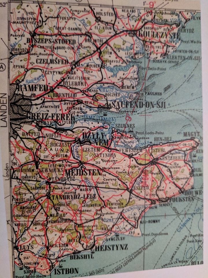
I see they got the pronunciation of Sarfend correct! 

It was designed for the Polish invasion of the late 1990's.................... when they came to save the UK from rubbish plumbers, useless waiting staff and all sorts of rural incompetence
