


Australia ATC Sectors

Thread Starter
Join Date: Nov 2004
Location: EGCC
Age: 56
Posts: 69
Likes: 0
Received 0 Likes
on
0 Posts
Australia ATC Sectors
Bit of a long shot, this, but I've looked all over the net including Airservices Australia and I can find nothing! Has anyone got details of or an online source for sector maps for Australian airspace please? I don't mean YMMM and YBBB FIRs; I'm talking about the actual ATC sectors within those - example of which (for EGTT airspace) is attached. Grateful in advance.
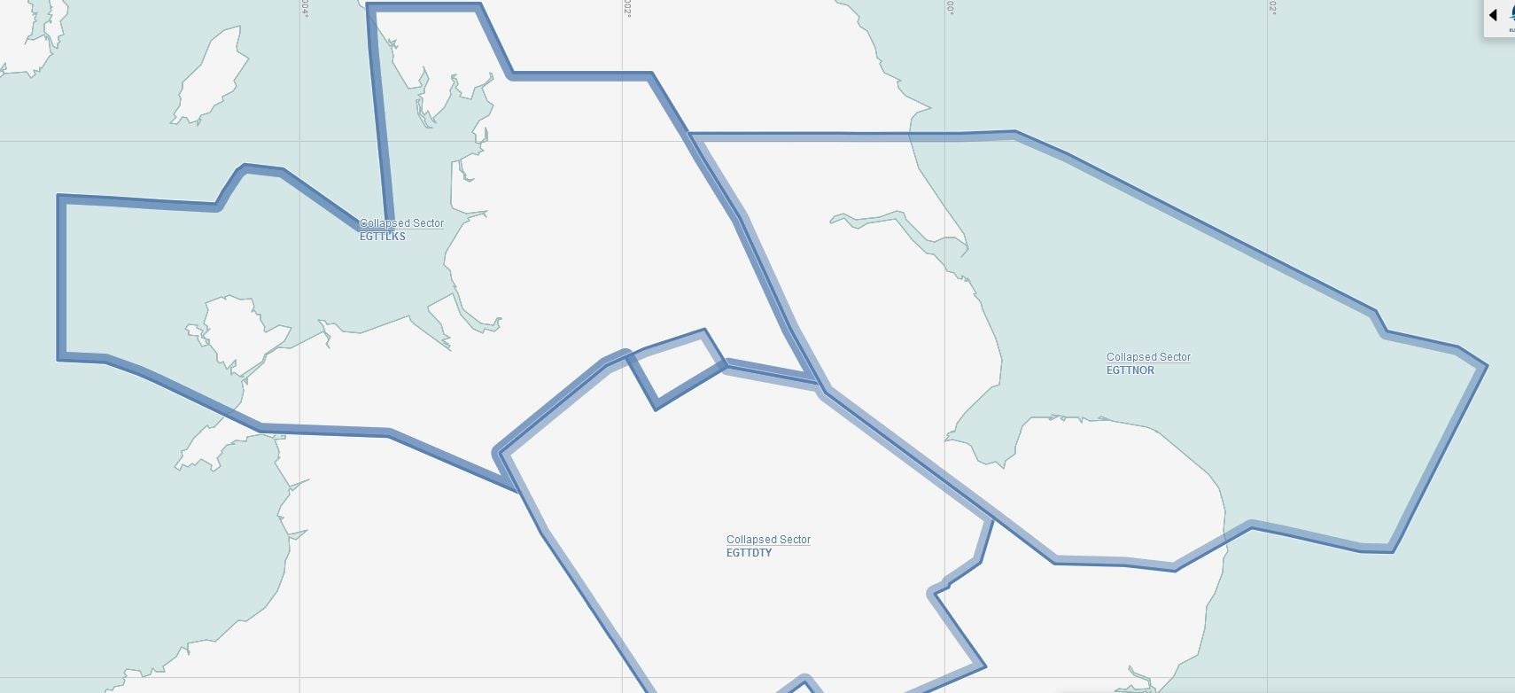
EGTT SECTORS COORDINATES/DIMENSIONS: DAVENTRY LAKES NORTH SEA
EGTT SECTORS COORDINATES/DIMENSIONS: DAVENTRY LAKES NORTH SEA


Top Answer
27th Mar 2024, 11:59
Here�s the most recent Airservices map.
The following 28 users liked this post by DirectAnywhere:
12-47, 717tech, Advance, BO0M, Bug Smasher Smasher, BuzzBox, CaptCloudbuster, Chris2303, cLeArIcE, directsosij, Duck Pilot, Ex FSO GRIFFO, Global Aviator, josephfeatherweight, junior.VH-LFA, kingRB, Lead Balloon, Mafortion, maggot, MalcolmReynolds, megle2, NaFenn, Oriana, Potatos_69, rcoight, red_dirt, ResBunny, Switchbait
Thread Starter
Join Date: Nov 2004
Location: EGCC
Age: 56
Posts: 69
Likes: 0
Received 0 Likes
on
0 Posts
try this
airspace maps
airspace maps
Thread Starter
Join Date: Nov 2004
Location: EGCC
Age: 56
Posts: 69
Likes: 0
Received 0 Likes
on
0 Posts
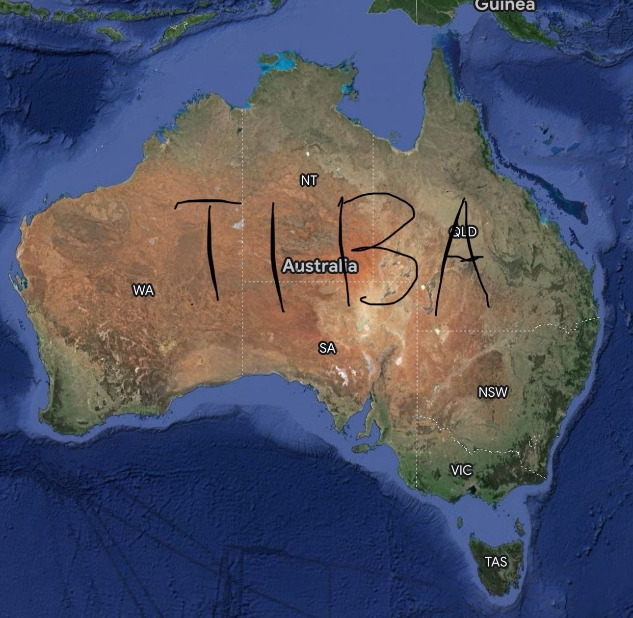
Sorry, not helpful I know, tongue definitely in cheek.
It stands for Traffic Information Broadcast by Aircraft. It�s essentially what happens when pilots become responsible for their own seperation in controlled airspace, generally because there aren�t enough ATCOs.
Large swathes of the country go TIBA at little to no notice because Airservices can�t get their s$&t in a pile.
What would be useful is a slightly larger scale map than the ones on the link Missy posted. Ie one map of the East coast between Brisbane and Melbourne with all the sectors colour differentiated. No need for all the tracks, just a broad picture of where all the sectors are. Hands up who wants to make Australia safer and create that for us all to put in our flight bags? I would but I�m useless.
SATCO
TIBA is the norm over places with poorly managed or underfunded third world aviation infrastructure. Examples being Somalia, and other dodgy parts of Africa, a square of the Pacific that�s outside FIRs, and regular swathes of Australian Airspace.
TIBA is the norm over places with poorly managed or underfunded third world aviation infrastructure. Examples being Somalia, and other dodgy parts of Africa, a square of the Pacific that�s outside FIRs, and regular swathes of Australian Airspace.
The following 8 users liked this post by compressor stall:
I think this might be what you're looking for, Framer:
https://www.airservicesaustralia.com/notammaps/
https://www.airservicesaustralia.com/notammaps/
The following users liked this post:
Join Date: Sep 2004
Location: inner suburbia
Posts: 370
Likes: 0
Received 0 Likes
on
0 Posts
[QUOTE=SATCO;11624521]Bit of a long shot, this, but I've looked all over the net including Airservices Australia and I can find nothing! Has anyone got details of or an online source for sector maps for Australian airspace please? I don't mean YMMM and YBBB FIRs; I'm talking about the actual ATC sectors within those - example of which (for EGTT airspace) is attached. Grateful in advance.
If you really want an adventure you could try parsing and importing the various sections of the "Designated Airspace Handbook" (DAH)
the current one is https://www.airservicesaustralia.com..._30NOV2023.pdf (4Mb)
If you really want an adventure you could try parsing and importing the various sections of the "Designated Airspace Handbook" (DAH)
the current one is https://www.airservicesaustralia.com..._30NOV2023.pdf (4Mb)
