


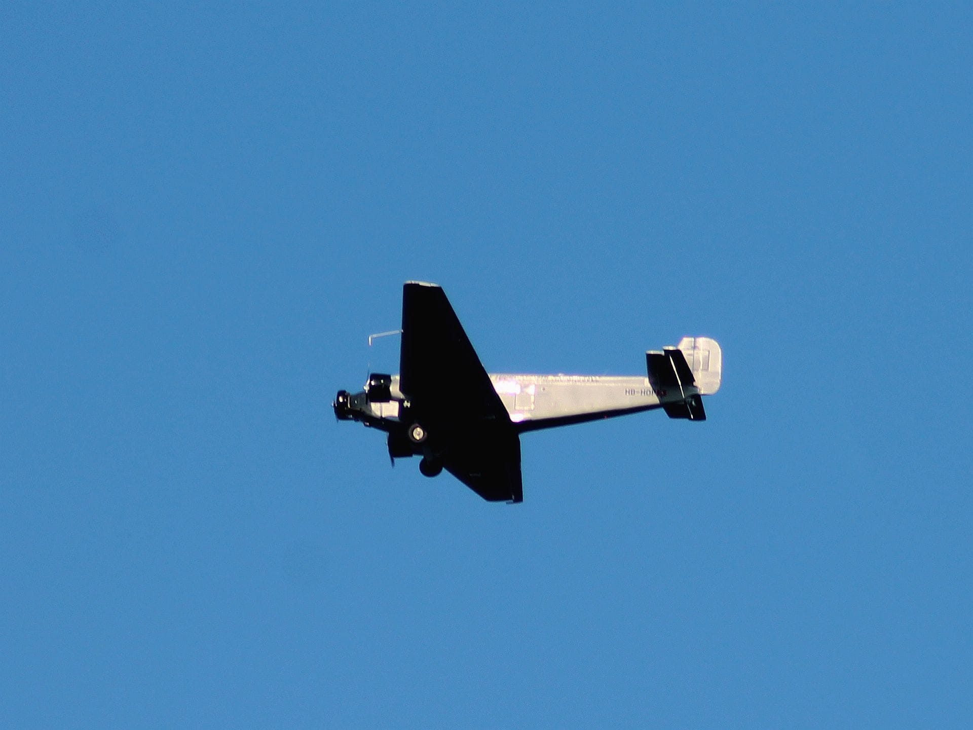
4th Aug 2018 Junkers JU52 crashed in Switzerland


Join Date: Feb 2013
Location: 60 north
Age: 59
Posts: 17
Likes: 0
Received 0 Likes
on
0 Posts
It is great to have these old birds flying instead of hanging in a museum collecting dust.
Sad to see one go.
I admire the dedicated enthusiasts that visit air shows with them.
RIP
Sad to see one go.
I admire the dedicated enthusiasts that visit air shows with them.
RIP
Last edited by BluSdUp; 4th Aug 2018 at 18:29. Reason: full sentence

Interesting that the wreckage as pictured is on an area of flat, relatively horizontal ground - rather than on an adjacent mountain slope. Could it be a forced-landing attempt?
Join Date: Jul 2009
Location: Not far from a big Lake
Age: 82
Posts: 1,454
Likes: 0
Received 0 Likes
on
0 Posts
Originally Posted by Chris
Could it be a forced-landing attempt?
More likely something like stall-spin, pilot incapacity, control problems, or structural failure.
Not a pretty picture at all.
RIP
Join Date: Oct 2007
Location: Munich, Germany
Age: 80
Posts: 129
Likes: 0
Received 0 Likes
on
0 Posts
This is very sad. Have seen the bird quite frequently, when heading for the Tegernsee area from Oberschleissheim airfield
or coming back. They were usually flying along the A 99 Highway. My sincere condolences to all affected.
Join Date: Jun 2001
Location: Rockytop, Tennessee, USA
Posts: 5,898
Likes: 0
Received 1 Like
on
1 Post
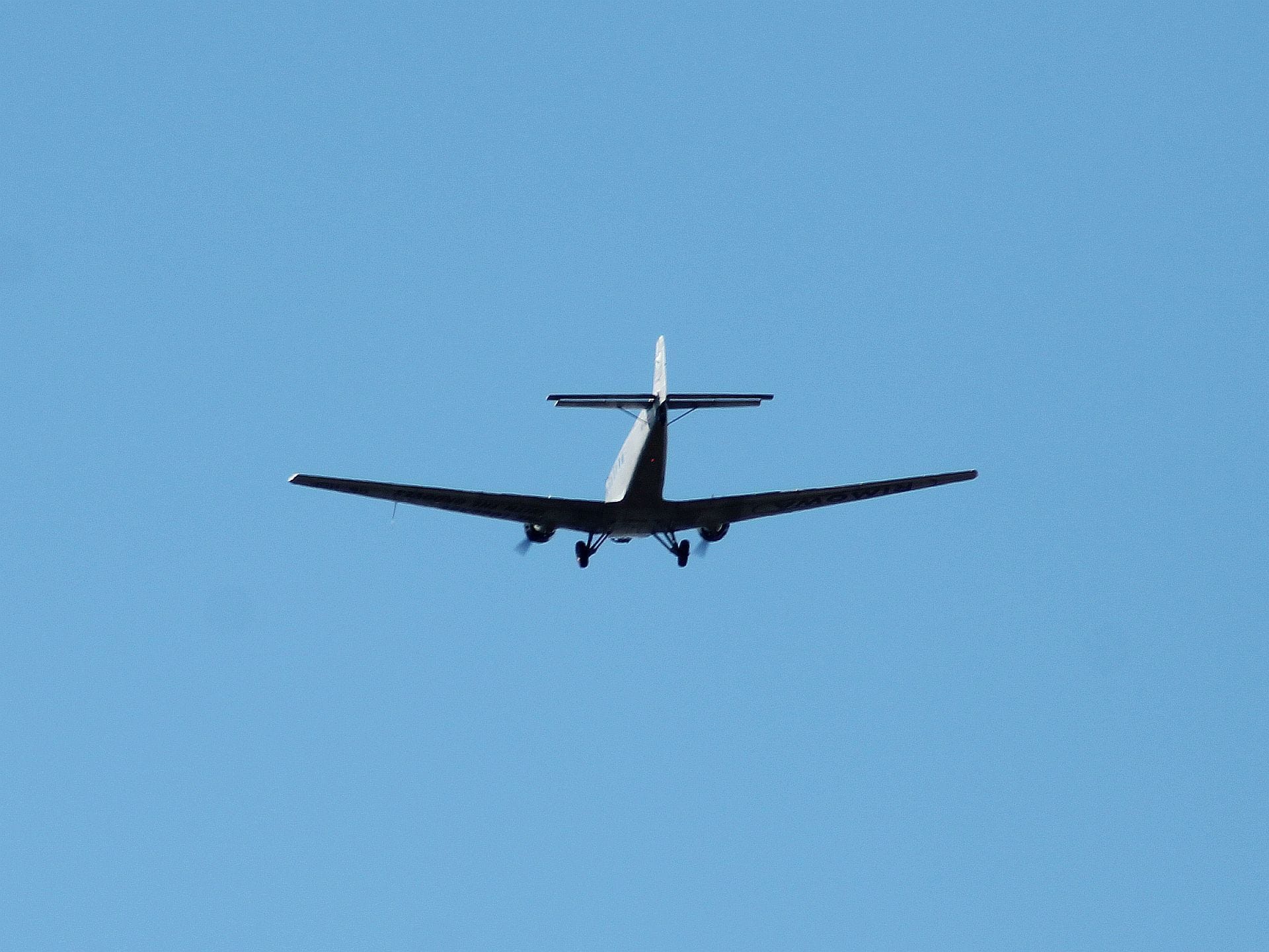
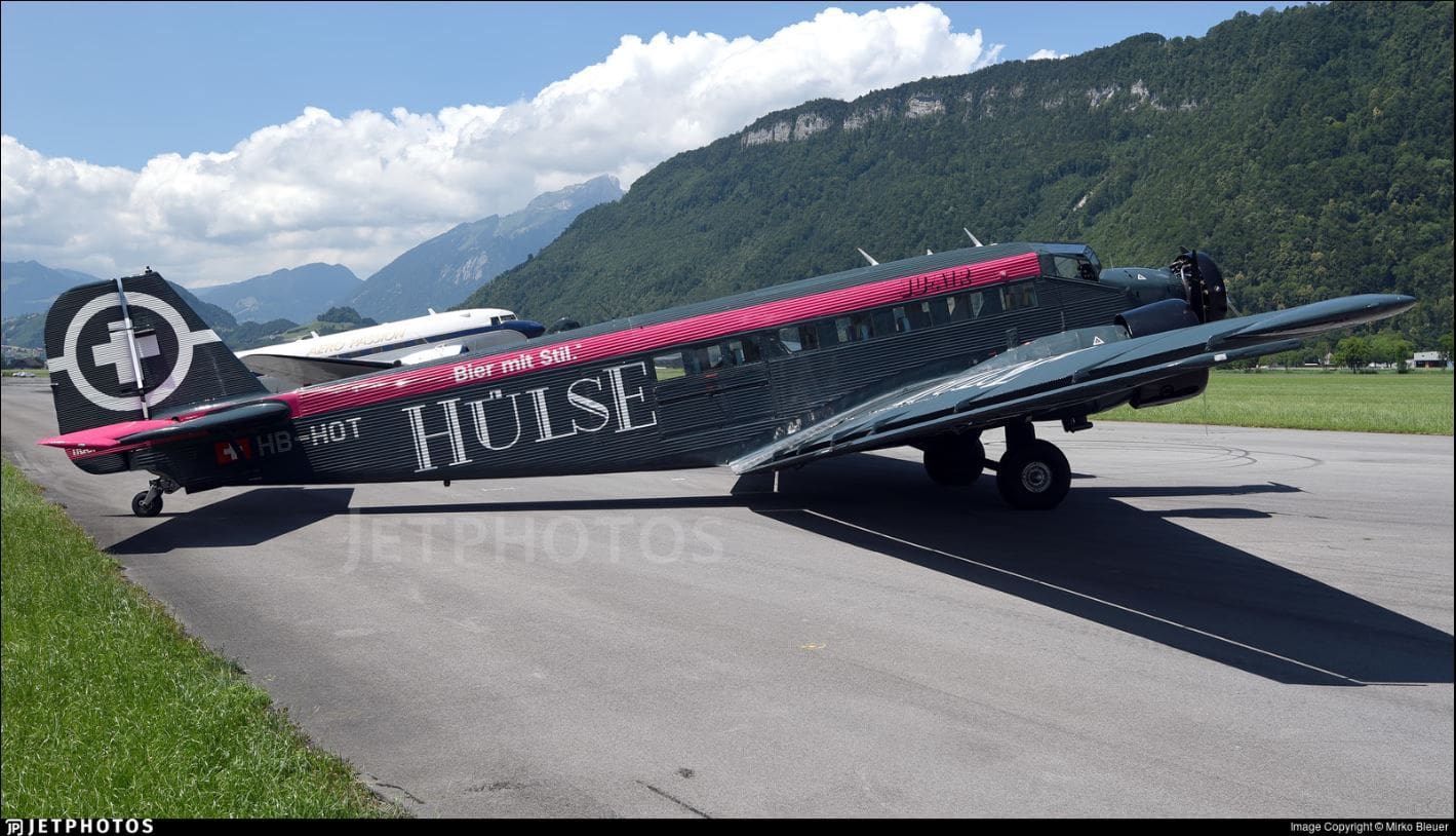
Sad indeed but I believe your photos are of the sister Ju52 HB-HOP, not the accident aircraft.
New cable in the vicinity:
From Avherald
Just came across the following NOTAM with a warning about a cable in that area. Might it be possible that they fly so low?
B0866/18: Obstacle erected
Q) LSAS/QOBCE/V/M/E/000/074/4653N00914E005 ROPEWAY CABLE 1.7KM SSE SEGNASP. MARKED, LGTD, LEN 699M, 465238N0091407E, 100.0M / 328.1FT AGL, 2251.0M / 7385.0FT AMSL.
FROM: 03 Aug 2018 05:51 GMT (07:51 CEST) TO: 07 Sep 2018 23:59 GMT (08 Sep 01:59 CEST)
Join Date: Jun 2001
Location: Rockytop, Tennessee, USA
Posts: 5,898
Likes: 0
Received 1 Like
on
1 Post
As always, gotta love the crypto exercise trying to read a NOTAM in 1930's teleprinter format. 
However, if my decoder ring is correct, the location is only two miles from the Piz Segnas crash site :
:
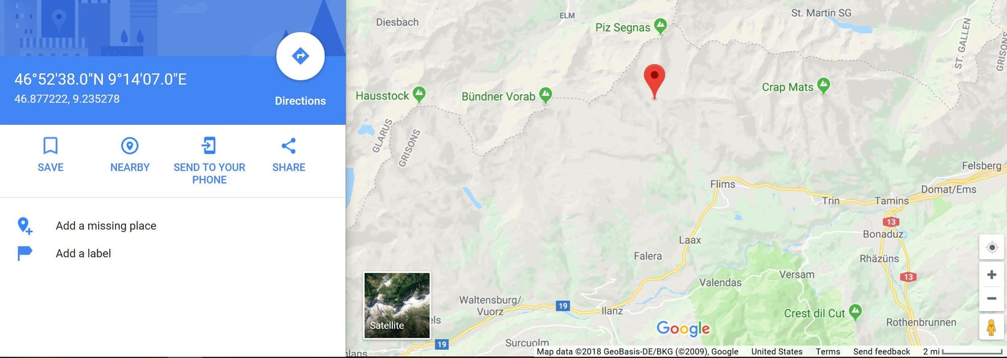
However, if my decoder ring is correct, the location is only two miles from the Piz Segnas crash site
:
Yes and while this does not make it a smoking gun just yet, it's the first piece of information which has popped up which makes me wonder if it has anything to do with this. Those pilots REALLY know that area, there is not much which would surprise them to the extent that they might loose the airplane. And they are VERY experienced and proficient. However, a cable at a position where they did not expect it, yea, that would do it.
Join Date: Oct 2007
Location: Munich, Germany
Age: 80
Posts: 129
Likes: 0
Received 0 Likes
on
0 Posts
Join Date: Aug 2007
Location: London, New York, Paris, Moscow.
Posts: 3,632
Likes: 0
Received 0 Likes
on
0 Posts
"
Cable
By Peter on Saturday, Aug 4th 2018 22:10Z
According to the Notam the cable is at 2251mASML and the crash site accoring to the police statement is at 2540mASML.
Assuming these facts are correct, it seems unlikly that the cable is related to the accident. After impacting a cable the aircraft would not climb another 290m."
Ref.. Crash: Ju-Air JU52 at Piz Segnas on Aug 4th 2018, impacted terrain
RIP. Condolences to all involved or affected.
Yes and while this does not make it a smoking gun just yet, it's the first piece of information which has popped up which makes me wonder if it has anything to do with this. Those pilots REALLY know that area, there is not much which would surprise them to the extent that they might loose the airplane. And they are VERY experienced and proficient. However, a cable at a position where they did not expect it, yea, that would do it.
By Peter on Saturday, Aug 4th 2018 22:10Z
According to the Notam the cable is at 2251mASML and the crash site accoring to the police statement is at 2540mASML.
Assuming these facts are correct, it seems unlikly that the cable is related to the accident. After impacting a cable the aircraft would not climb another 290m."
Ref.. Crash: Ju-Air JU52 at Piz Segnas on Aug 4th 2018, impacted terrain
RIP. Condolences to all involved or affected.
Very sad event, and condolences to all involved.
The recent presence of a cable in the area does concern. I can imagine that it might be involved in the accident, despite the reported differences in elevation. However, I am sure this accident will be fully investigated and the facts revealed. RIP
OAP
The recent presence of a cable in the area does concern. I can imagine that it might be involved in the accident, despite the reported differences in elevation. However, I am sure this accident will be fully investigated and the facts revealed. RIP
OAP
Quote " As one of the installers of the cable mentioned in this report i can ensure you, that the incident is unrelated. We watched the plane fly by high above us and heard the crash loud and clear. The cable was not installed at the time of the incident" End quote.
Ok it's only a post on a forum but it's worth considering - Why lie? If their cable was involved then the evidence will demonstrate it.
A very sad event indeed.
OH
Important for the other Vintage birds will be the reason for this accident. Fortunately the fuselage did not burn down complete, so there will hopefully be video coverage from inside left. Most times those mountain crashes are in IMC or night conditions but this one was in VMC and the bird could have done a emergency landing on the slope with minor damage if there where no additional holes in the cheese.

Join Date: Oct 2013
Location: Rochford, Essex
Age: 63
Posts: 3
Likes: 0
Received 0 Likes
on
0 Posts
They may have been trying to get a look through the famous Martinsloch rock window. The flight was a special excursion from Zurich to Locarno with an overnight stop and meal there. They were on their way back. It looks like it was one of the highlights of the excursion programme for the company for this year from the details on their website. A tragic event.
Last edited by dadai; 5th Aug 2018 at 12:59.
Important for the other Vintage birds will be the reason for this accident. Fortunately the fuselage did not burn down complete, so there will hopefully be video coverage from inside left. Most times those mountain crashes are in IMC or night conditions but this one was in VMC and the bird could have done a emergency landing on the slope with minor damage if there where no additional holes in the cheese.
There will be a press conference this afternoon with hopefully more information but the death tool seem to be 20.
Very sad.
Join Date: May 2010
Location: under a stone
Posts: 21
Likes: 0
Received 0 Likes
on
0 Posts
The picture we're seeing on avherald has been shot with a telelens and only shows a narrow section of the surroundings. I'd say it's shot about 20 degrees downslope and thus gives the illusion of relatively flat terrain.
The german Wiki-article shows this picture of the crash-area landscape:
h ttps://de.wikipedia.org/wiki/Absturz_einer_Junkers_Ju_52_2018#/media/File:MartinslochBoden_040.jpg
The crash-site would be between left of the two distinctive boulders in the center/ center-left of the picture.
They would have been flying upslope (to the right) this valley, probably trying to get over the pass:
h ttps://de.wikipedia.org/wiki/Segnaspass#/media/File:Unt._Segnasboden_in_richtung_Ofen,_Tschingelh%C3%B6rner ,_Segnaspass.jpg
Note: Since I can't post direct URLs now, you'll have to go the hard way, copy the links into your browser and edit-out the space between "h" and the rest of the link.
Can anybody confirm (or deny) this routing?

