Originally Posted by
rotorspeed
Agree Crab - lighthouse is almost incidental.
Back to the beginning of events, and basic procedure, would the Dublin SAR base have included a 250k or 500k VFR chart of Ireland pinned on the wall? Does SAR flight planning include looking at relevant hard copy charts? And would it have been expected that a crew would look at any likely approach - in this case APBSS - with reference to a VFR chart?
Here's the 1:500 VFR chart for reference (top right). Interestingly, the caption for the red/orange circles in the legend is "Lighthouses - Elevations in italic numerals". I think we've found the origin of the orange circles on the APBSS chart, and I wonder if the APBSS chart started out as a scan of the 1:250 chart bounded by the 54N parallel and the 10W meridian. Has anyone got a copy they could post ? It's also interesting that the numbers next to the lighthouses are in unboldened black type and italic whereas the spot heights on land are in bold and normal type with a black spot adjacent. Also the heights of the obstacles on the chart are in red.
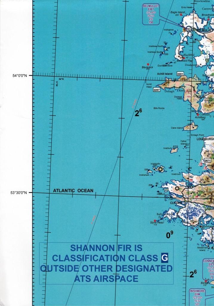
And here's the APBSS chart for comparison. Interestingly again, the caption Blackrock isn't very closely associated with the obstacle.