I don't know where SkyChefs are located, but the easiest way to visualise where the Great West Aerodrome was is to imagine Cains Lane continuing in the same direction north of the A30, as it once did, forming the northeast boundary of the aerodrome. It's the road running L/R across the middle of this photo.
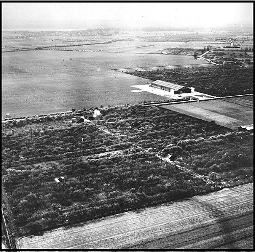
The hangar visible in the photo is Fairey's, and is the same one that for many years was visible on the far side of the Terminal 2 apron:
