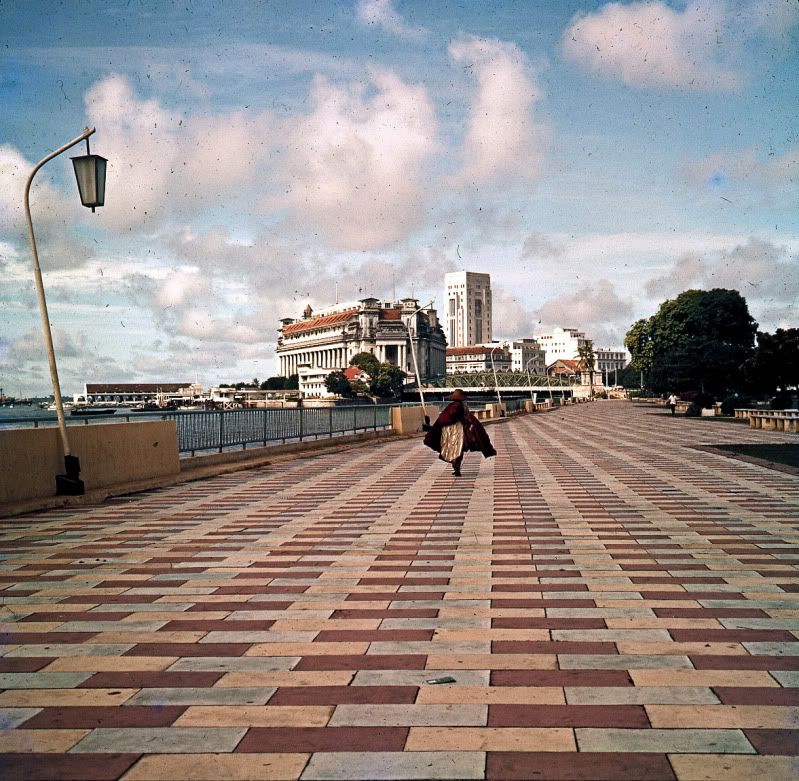
I'm currently in Singapore and finally remembered to do what I had been meaning to do on my last few visits - update Warmtoast's 1958 picture of the Singapore Waterfront.
Here's Warmtoast's picture from Post No. 1:
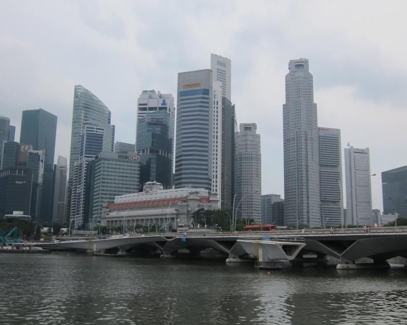
and here's a picture I took today:
The picture location is a little bit closer than Warmtoast's vantage point and it is no longer the waterfront.
His location is now in the middle of Esplanade Park. The Fullerton Building is still there, but has gained some more floors and is now the Fullerton Hotel. The bridge over the Singapore River on the right is still there, pretty much unchanged, but on the left is the Esplanade Bridge, completed in 1997, which links Nicholl Highway in the east with Shenton Way in the west. The skyline has changed beyond recognition.
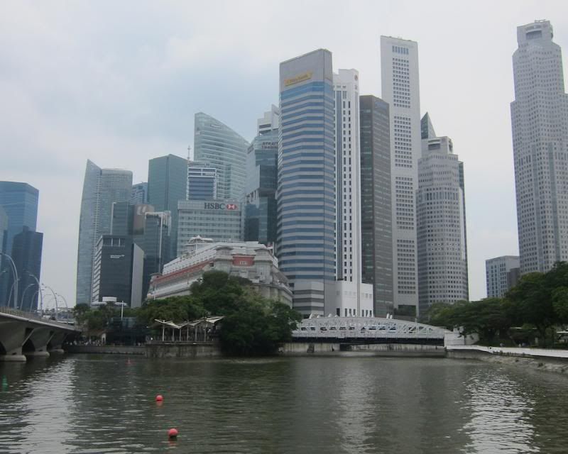
This used to be the mouth of the Singapore River, but it is now 1.5 miles upstream, due to land reclamation. The new river mouth has a permanent barrage, that has turned the river into a fresh-water reservoir.
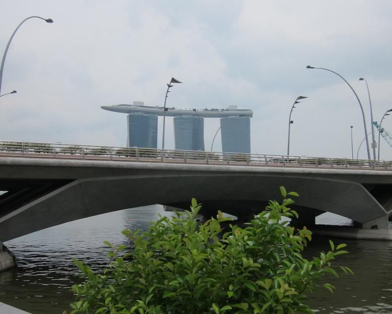
This is the view looking half-left in about the 10 o'clock position. The Marina Bay Sands Hotel looming over the Esplanade Bridge in the foreground:
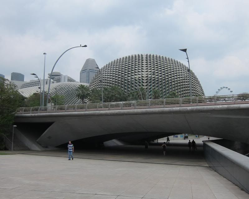
Looking further left, about 8 0'clock, are the Theatres on the Bay, otherwise known as the Big Durian, with the Singapore Flyer in the background:
Everything you see in the above two pictures is on reclaimed land.
Finally, one more shot of the Fullerton and the Business district, from the other side of the Esplanade Bridge: