Did you guys know the Environment Agency operate their own airborne mapping capability?
https://www.geomatics-group.co.uk/geocms/
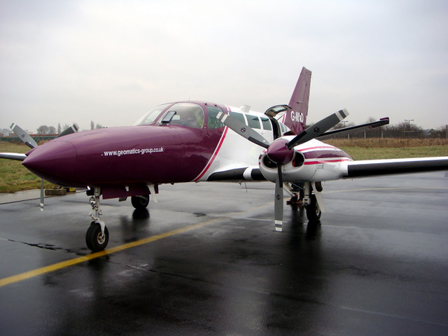 The Environment Agency's LIDAR plane
 by
Environment Agency, on Flickr
You can follow them on Twitter
https://twitter.com/EnvAgencyGeomat
They look pretty busy!
Wonder how the RAF is integrating with them