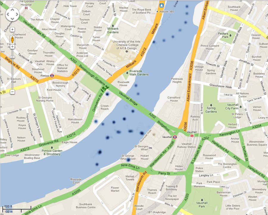
For what it's worth here's a section of Google maps with a convenient 500ft scaler bottom left....500 ft radiuses dotted round the St Georges Wharf point tower(594ft high), 152 Grosvenor Rd opposite which is perhaps 150 ft high and the Millbank tower shown as 360 ft high(other sources 390ft). Much of 'south bank' (actually east there)between the Albert Embankment and the river is built up , guessing average 150ft? but I haven't attempted to dot that side
Is there any instrumentation on the tallest towers in London to transmit accurately visibility 'at the top' to ATC/the flying community?