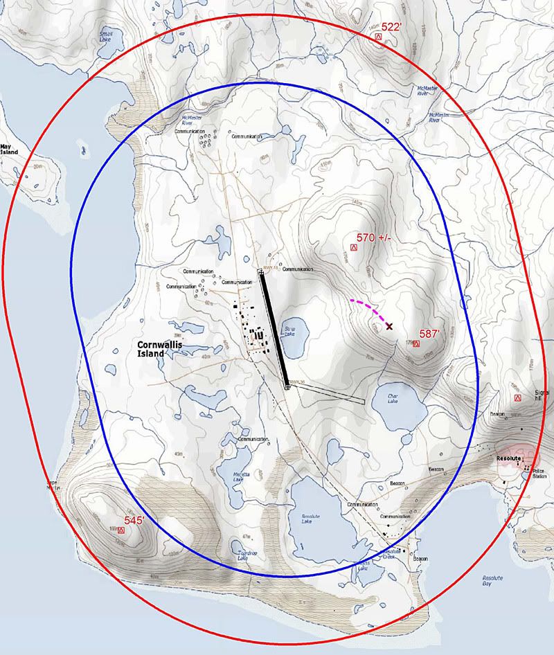
I'm pretty sure that the wreckage trail shown in purple on Aterpster's map is incorrect. Judging by the photo posted by Downnorth (post #8), the trail ends to the right (south) of the stream cut, which is very apparent in the topographic map. I would imagine the wreckage trail is actually roughly parallel to the runway
So, your estimate is that the initial impact was Southeast of the 587' elevation on aterpster's map?