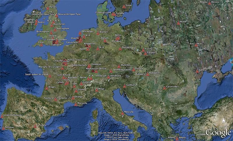
As Phase Three spools down for the summer months, I thought I would pass on to you some indirect indication of this thread's world-wide interest. A few weeks ago I cobbled together a Google Earth KMZ file about the AF447 situation and posted it here, with gridlines and points of interest drawn at altitude and depth, hoping it might be useful in visualizing the search activities. As the file is linked only from PPRuNe, I was surprised to discover today that in the last week or two it has been downloaded from 165 unique IP addresses, from France to Hong Kong, Peru to Finland... So I parsed the data and built a small KMZ file showing who (by location) has visited the download page... a snapshot of the resulting view (over Europe) is below. When running this file in Google Earth, if you click on a location, a balloon includes country, region, city, and lat/long. The KMZ file is available
here.
GB