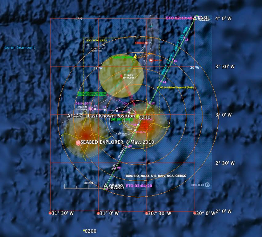
With the hope that a summary of known positions placed into 3D space in Google Earth might be of help, I have built a .KMZ file containing the known track of the aircraft drawn at altitude FL350 (10668 meters) and the location of the search vessel SEABED WORKER on May 8, 2010 placed at sea level. Concentric rings at 10 nautical mile increments radiate from the Last Known Position of AF447 at 0210. The area of interest (Seabed Worker) is 42.11 NM, heading 246.20 deg., from the Last Known Position. For reference, I included the excellent, if not stunning, chart by mm43 created April 2, 2010 and posted to PPRuNe (#650), scaled and overlaid onto the ocean surface:
 Download the Google Earth .KMZ file here
. [720KB]
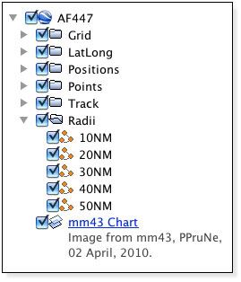
Load the .KMZ file into Google Earth (Version 5). Use the Places Panel to check or uncheck the visibility of various layers:
I will update this .KMZ file with new information after the BEA press conference tomorrow.
Good luck to all!
GB