The basic problem is that civil air traffic is still using altimetry procedures originally formulated many decades ago. It would be an interesting exercise to find out how many aircraft around the world were flying with mis-set altimeters at any one time. Crews failing to change from QNH to STD climbing through TA or vice versa during descent, or simply incorrectly set QNH. Fortunately such errors usually result in nothing more serious than red faces when they are discovered.
A 'European' problem which US pilots are spared is low TAs. Every time a severe low pressure weather system crosses the continent the authorities have to send out Notams reminding pilots about setting altimeters correctly in order to avoid level busts or terrain warning episodes. The irony is that such weather systems invariably bring severe low level turbulence. Concentrating on basic aircraft control might distract crews from re-setting their altimeters when required.
With tech refinements altimetry will probably eventually be via satellite signals, which will solve the problems of mis-setting. Transition levels consigned to history! Pressure altimetry (via data link with automatic adjustments to cross-check satellite signals) will be the back-up system.
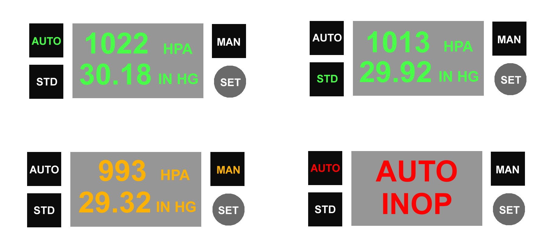
In the meantime here is a tech solution to incorrect QNH setting problem: ATC data base automatically transmits current local QNH to aircraft ADCs via data link - no humans involved! (Except to check for disparity between received QNH and expected QNH). Presentation in flight deck: