Here are the photos on the approach, first picture is my attempt at a possible routing, starts looking back at Lake Korission positioned south west of the island, turns and runs parallel to the island heading north on the "wing" shot", then over Glyfada which on the west coast (due west of the airport) with two different photos, the second with a pronounced turn (possible telephoto zoom here), then parallel again to the runway flying lower to the north, and the last one at the southern end of the runway at the turn.
The sequence of these is determined accurately by the matrix numbers on the slide film. These sort of work with my father sitting on the port side and travelling north initially, I think better than the idea of a starboard southerly approach with the tailplane visible.
Subsequent photos are just the big versions of the insets, in case any clues there. I did wonder whether there were any standard approaches and holds.
Certainly interested in hearing from anyone who can validate or discount my interpretation.

 Lake Korrission from East of the Island just north of Marbella Beach
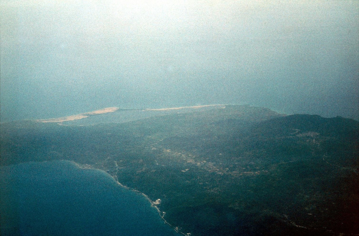
 Corfu Airport from east and slight south, at altitude
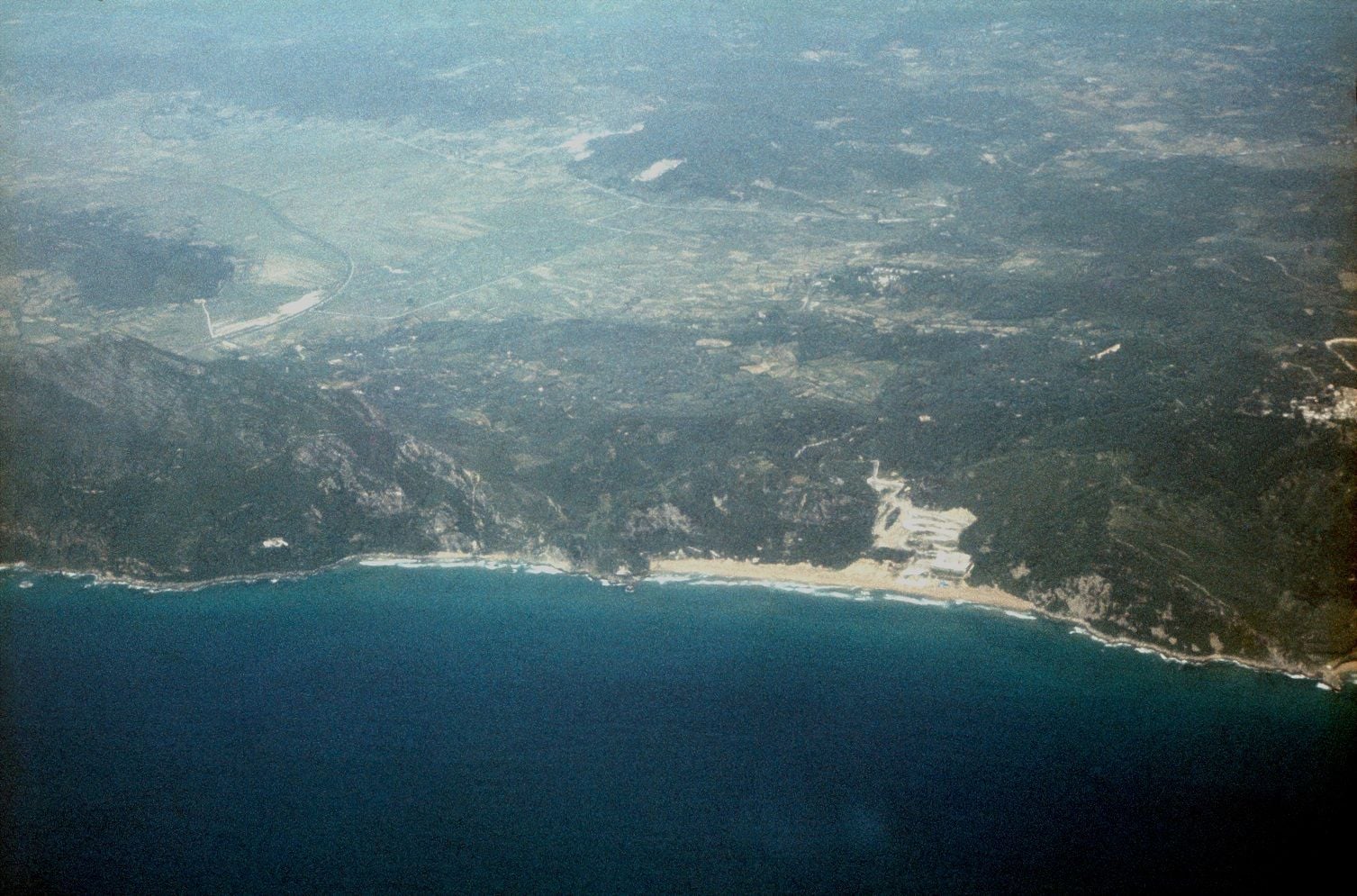 Glyfada Beach from West and slightly north, at altitude
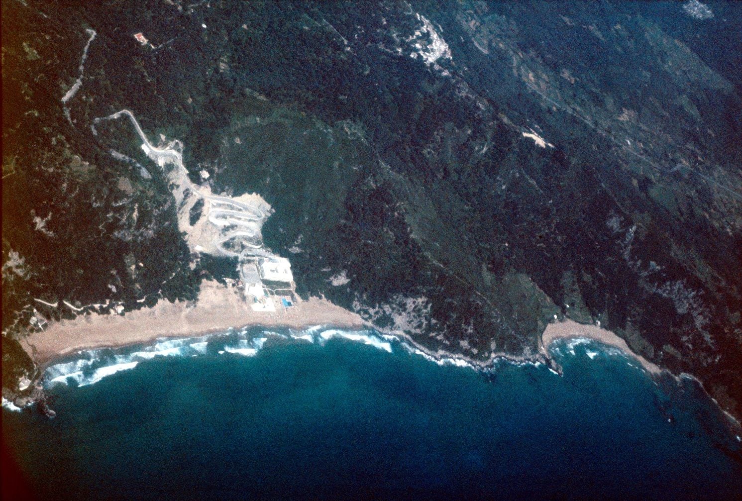 Slightly south of last Glyfada beach photo, appears lower and turning
 Back to the east of the airport
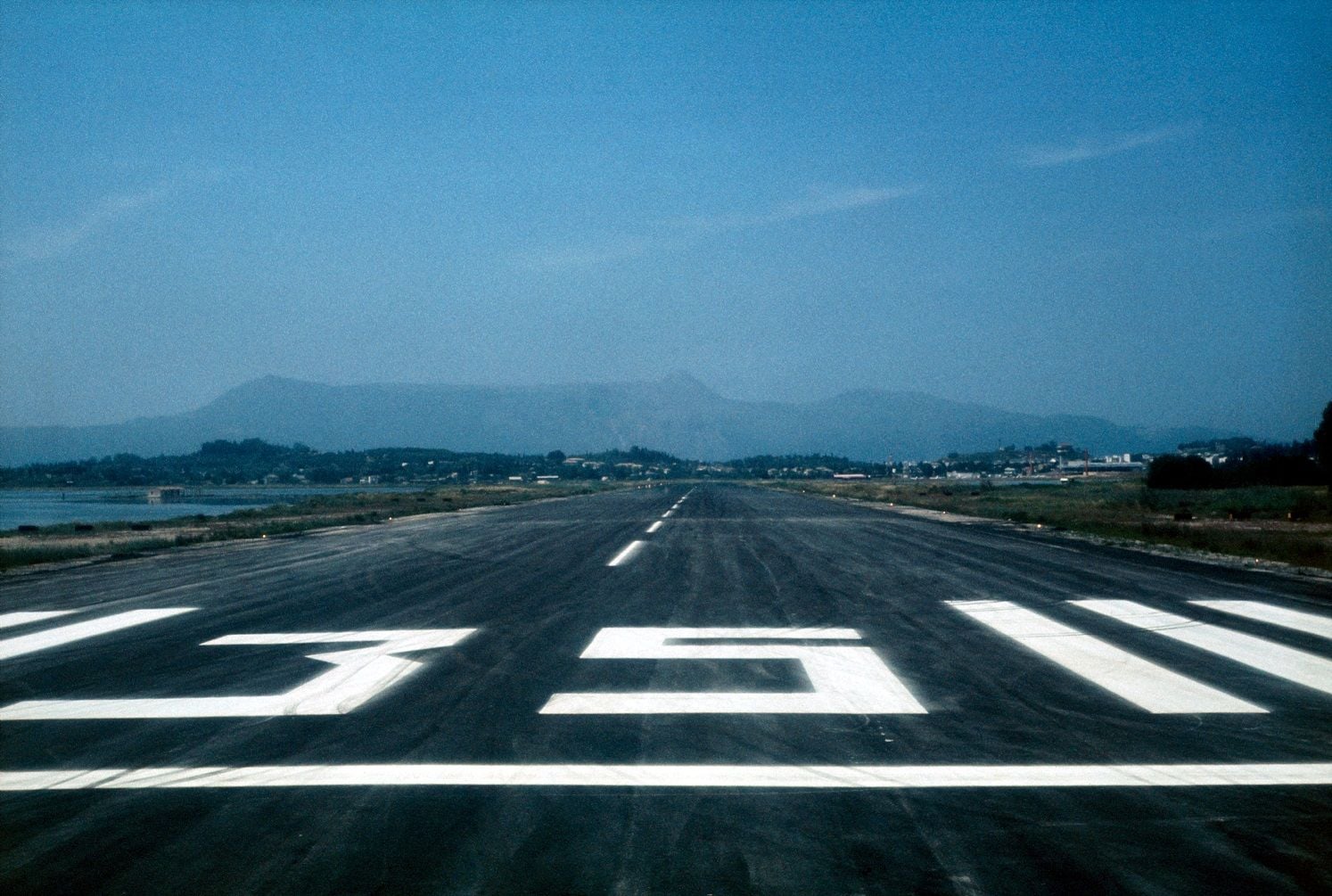 Turning at the southern end of the runway.