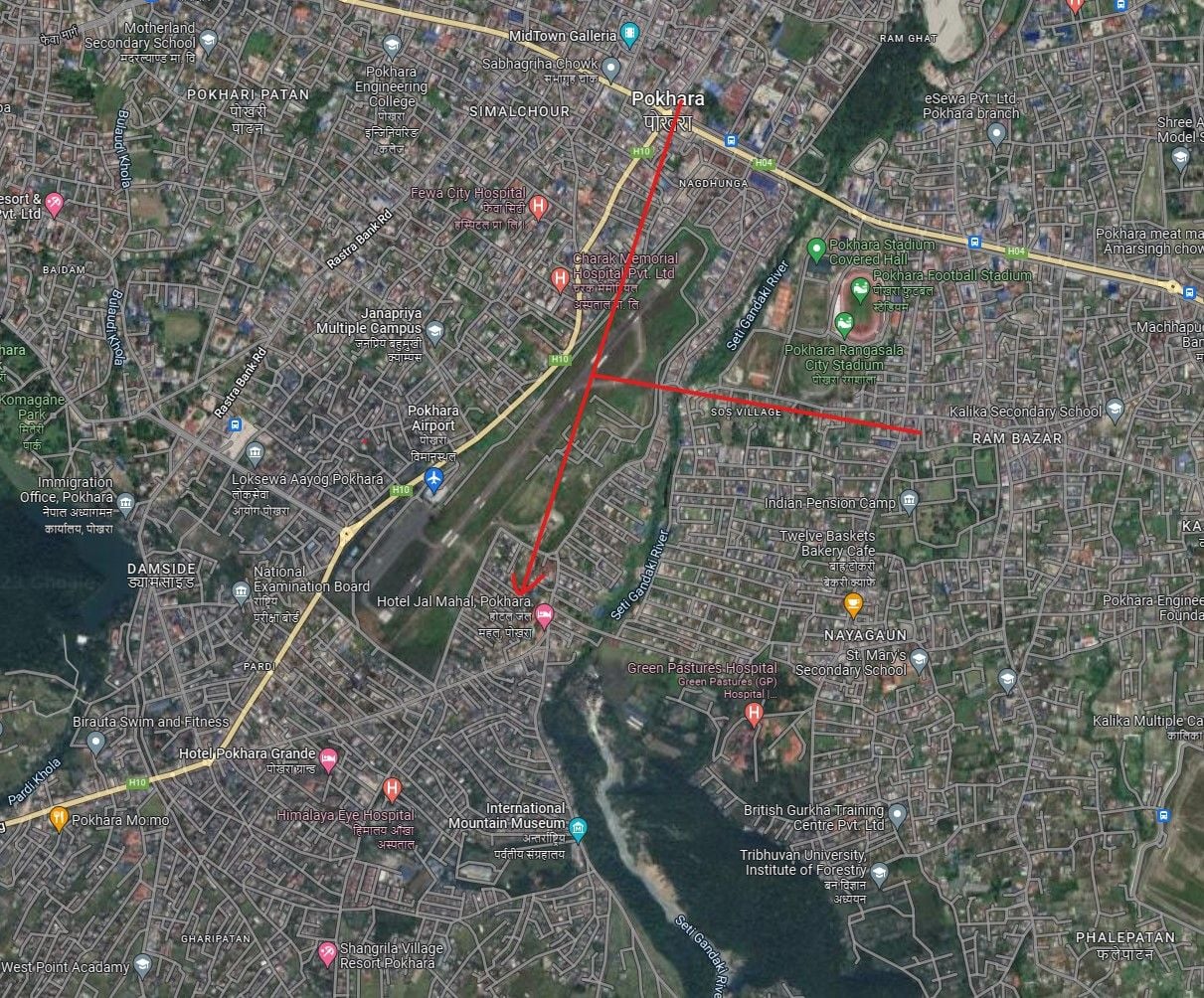
Using the video 1 - 7s on post 228 and google maps you can see the rough track of the plane and its not perpendicular to the old runway at all.
@7secs you can see a road wth a kink in it at right angles to the plane, so just draw line from that and perpendicular to that line is the approximate track of the aircraft, which is starting a left turn for runway 12. This puts the plane around 300 - 400 feet above the old airfield, its not on final approach, its not trying to land at the old airfield at all. The old airfield is below the aircraft as it heads on base leg to turn final for 12.
So stop spouting nonsense.
Go check the landmarks s1 - 7 in the video with what you can see on google maps or even google earth
https://earth.google.com/web/@28.201...9.58734423t,0r and you will see it all ties in with an approach to 12.
As the plane crosses the intersection of the kinky road the left wing tip drop starting a turn to the left, it never completed that 90 degree turn, and you can see if you dont complete the turn the gorge where the crash happened will be straight ahead of you.