Originally Posted by
wombat watcher
and what is that?
Crossing the range in the vicinity of Pilton/Kings Creek at only 2,600' followed by an immediate descent to 1,300 that then continued down to 400' PA is not normal. Amberley QNH was 1027 at the time, which, if I've done the maths right ((1027-1013)*30)+400 gives 820AMSL in the vicinity of Fernvale while passing 2NM west of a charted 827' hill, before continuing to pass 2NM south of Horse Mountain, charted at 1178'. Followed a minute later by a rapid climb and 180* left turn when the ADS-B track ends. Going by the ADS-B position & corrected altitude, he passed
directly over the top of a 130m high hill at Fernvale.
If you want to kill yourself fart-arsing about in bad weather, go hard. Don't risk the lives of your passengers who are trusting your judgement and experience to keep them safe.
Originally Posted by Poppa Jo
What was the weather?
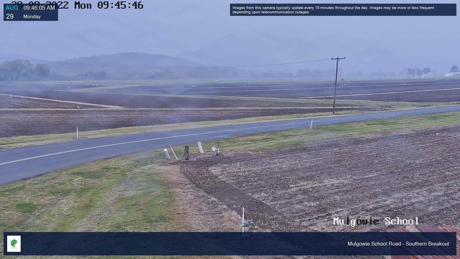
This was captured from the Mulgowie School camera at the time they crossed the range around 17NM SW of Mulgowie.
And this one is looking southwest, from Ipswich at around the time of the crash, both images from the Windy.com archives.