.
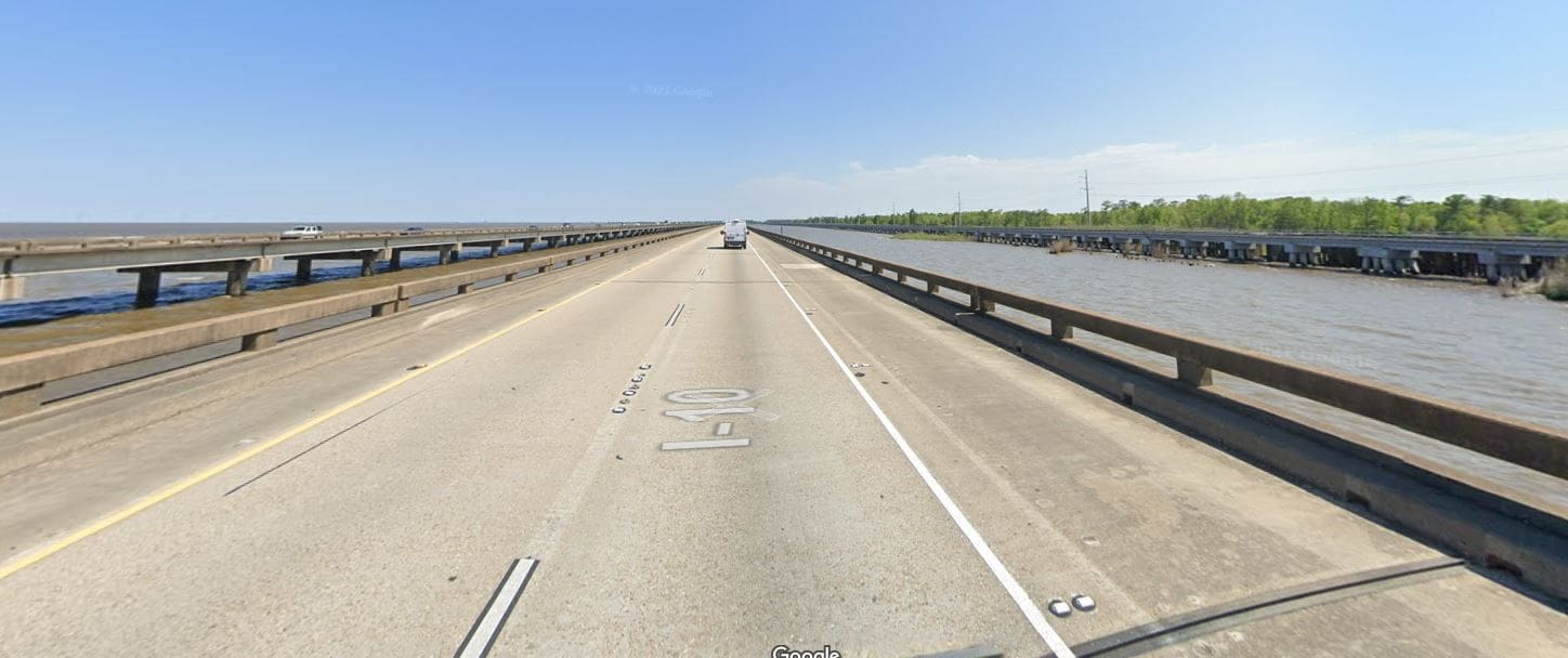
When this first came on the news I went on Google Street View .... started at the wrong end and traveled over 10 miles before coming to where power-lines crossed the road at the west end ...... Looked like clear sailing with no obstructions other than street lamps and even they had no overhead wires .
Not excusing the pilot but the 11 mile bridge would have initially been a good VFR reference because one side is open water and the other is forest and swamp
The very tall power-line and towers continue across miles of that forest and miles of that open water so either way he would have encountered them trying to stay under the fog.
Like I said , not excusable but makes his choice more understandable under those conditions.
Picture shows the four lanes of highway he was flying over ..... On the very right is a railroad track with typical low level power lines but they are not the ones he hit.