Originally Posted by
hoss183
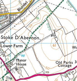
This '45-'65 map has a trig point, and mast on the current image.
Yes, the trig point, unsurprisingly, marks the top of a 200' hill with the masts just a few feet lower.
The mast marked on the map is a
cellphone/DAB tower, not the NDB (the latter are rarely, if ever, marked on OS maps).