Put it into perspective and tell me if it's likely...
Old mate is cruising along at 6,500ft and can't get a clearance, so rather than deviate a few miles right of track, he contacts the D tower and misjudges what was offered, so descends on his current track, miles inland towards the mountains, down to 1,000ft where the mountains are 3,500ft high, whilst he still has well over 90 nautical miles to go to his destination.
At 90 miles to run, descending to 1,000ft to get under a tiny little airspace step that could be avoided seems very difficult to believe, doesn't it?
If I'm 90 miles out, descending to 1,000 ft would be the last possible option I would take, especially given that you'd likely want to climb back up again.
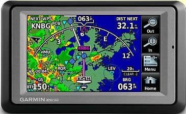
Passengers who had flown with the pilot reported that the pilot routinely used a Garmin Aera 500 Global Navigation Satellite System (GNSS)6 unit carried in their lap. Aera 500 The Aera 500 unit carried by the pilot was not approved as a sole means of navigation. However, the unit did present useful information relating to the progress of the flight. This included topographical and airspace information. The unit had a terrain function that required a valid 3D GNSS position solution and a valid terrain and obstacle database to operate properly. Terrain information was advisory only and could include: • display of altitudes of terrain and obstructions relative to the aircraft’s altitude • pop-up terrain alert messages issued when flight conditions meet parameters set within the terrain system software algorithms • forward looking terrain avoidance alerts The ATSB recovered data from this unit indicating that it was in use at the time of the accident. However, it could not be established which mode was selected at the time of the accident or whether the terrain function was operable and the status of any user and system inhibitions.
I used to run a similar unit. Unless you specifically turned off the terrain warning, it pops up at 500 or 1,000ft depending on what you set it to.
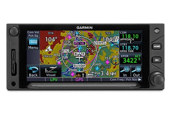
That makes another unknown. He was definitely using this or another GPS (the GTN 650) and both have coloured map and potentially terrain alerts that have been completely missed.
Truly bizarre.
Garmin Aera 500
Garmin GTN650