Originally Posted by
malabo
Here�s some �pichers�. How would you have done it?
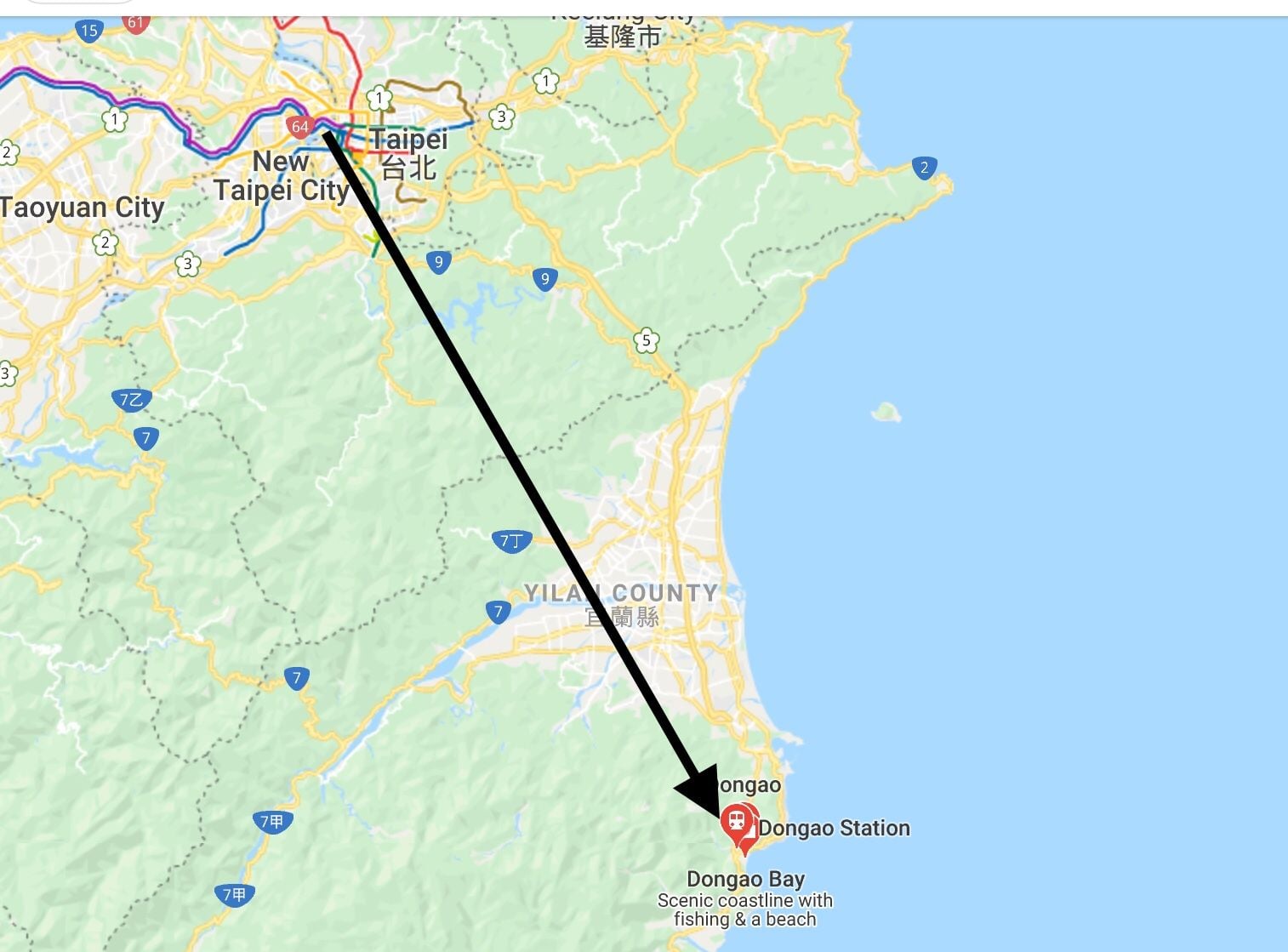
well, haven�t been there and don�t know the excact conditions on the day - but looking at satellite pictures, initially going east north east until reaching the coast and following it to the south might have been a safer option.
With real low cloud going north directly to the shoreline would have added another 30 min isch to the flight time - but would still be a safer way to accomplish the mission ....