But look at when the Omega system went live, 1971....but did not have worldwide coverage. (Woodside in AUS was not opened until 1982.)
It took a long time to get a position from the Omega system and 20m depth is basically on the surface for a sub.
And I believe they can update position referencing known underwater topography.
Yes, there are hyper accurate maps that are used in navigation, it just requires the sub to ping with SONAR, giving away its position. There are pingers set up that broadcast all the time, and those are effective (unless the sub shadows a ping and gives itself away!)
On a side note, we were using the Woodside Omega tower for a project, before the idiot killed himself jumping off of it, and it was demolished...too bad.
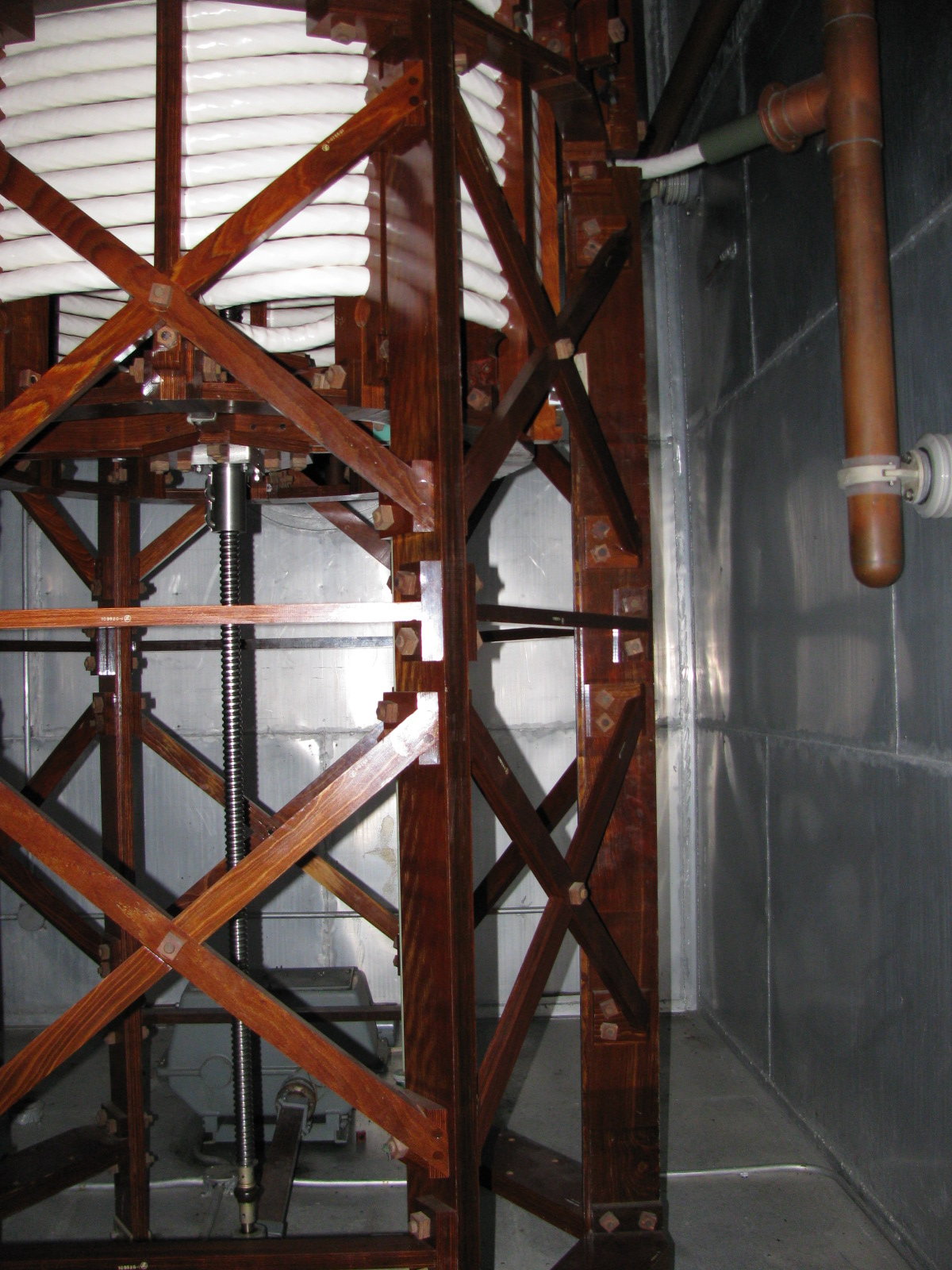
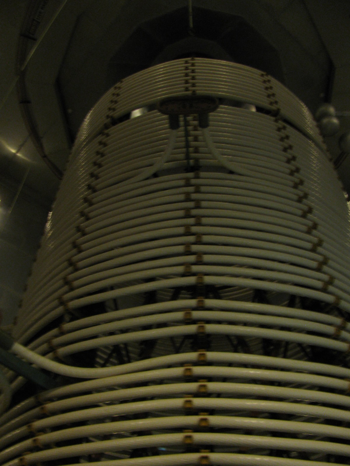
For a bit of history, inside an Omega bunker:
Signal generator 100mm copper coils, all wood frames and bolts were MSR plywood..quite the engineering. (there were 10 of these, 10m tall in the building)