


Grid North calculations

Thread Starter
Join Date: Aug 2009
Location: Leeds
Age: 35
Posts: 13
Likes: 0
Received 0 Likes
on
0 Posts
Grid North calculations
Hi
I am on my studies with ATPL and my sticking point is grid north calculations.
I am struggling so much to find some resources online that will help me work these out
Here are some of the questions, i am really interested to find out HOW these are worked out, i just dont even know what to google to even try get help with these, i have tried a few videos but none really help.
I dont want just the answers i want to know how to work these out, i have understanding of grid vs magnetic i am just really struggling with these, any resources or guidance would be much appreciated.
My study books are not really yielding much help, i have the oxfords books too and they dont have any mention in it, i assume this topic is covered more in general navigation (this has come up in my ops studies)
1. A polar stereographic chart has a grid printed over it which is parallel to the meridian 054W, with Grid North in the direction of the North geographic pole.
An aircraft is following a true course of 330�.
At position 80N 140E, its grid heading will be:
6 On a polar stereographic chart where the Earth convergence between 2 points located on the parallel 60�N is 20�, the great circle maximum cross-track difference with the straight line joining the 2 points is:
The inertial navigation system (INS) indicates:
Position: 71� 55.1'N 094�55.3'W
Drift: 6�L (left)

Join Date: Nov 2000
Location: White Waltham, Prestwick & Calgary
Age: 72
Posts: 4,156
Likes: 0
Received 29 Likes
on
14 Posts
You are using it all the time with grid references  .
.
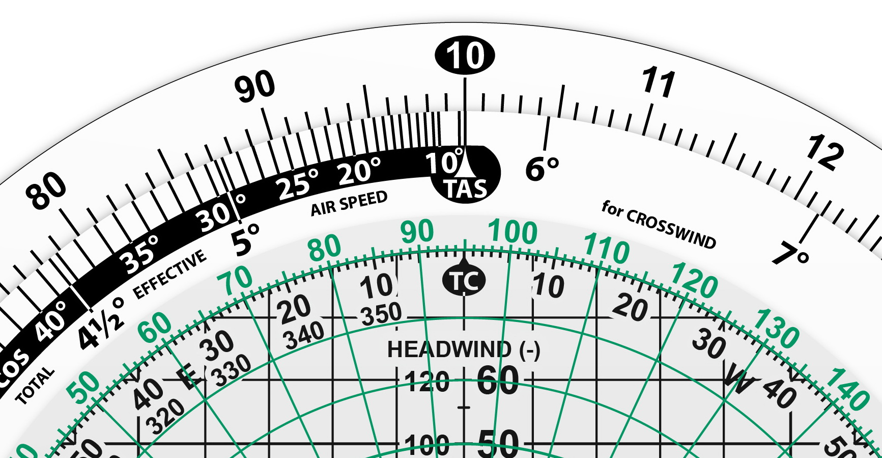
Treat grid like variation. Use the front of the flight computer, with the true course at the lubber line, look right or left according to whether you are East or West for the longitude and the grid heading will be found right next to it. In the picture, you are at longitude 40W with a grid heading of 090 and your true heading is 050.
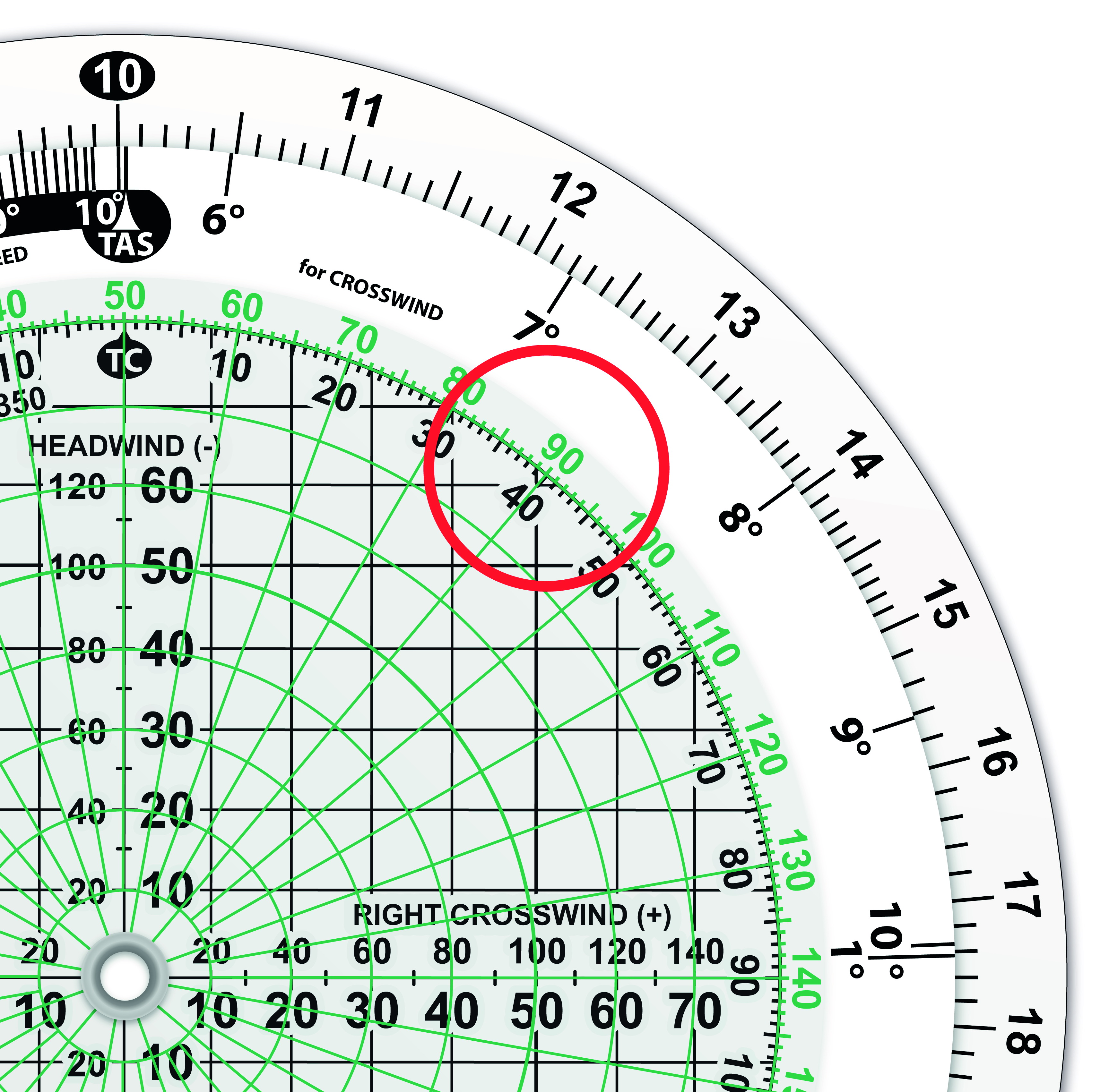
.Treat grid like variation. Use the front of the flight computer, with the true course at the lubber line, look right or left according to whether you are East or West for the longitude and the grid heading will be found right next to it. In the picture, you are at longitude 40W with a grid heading of 090 and your true heading is 050.
Join Date: Nov 2014
Location: six micro tesla zone
Age: 33
Posts: 416
Likes: 0
Received 0 Likes
on
0 Posts
Paco is there an in-depth explanation anwhere as to how to solve grid nav questions using the CR3? From your’re picture above how do you know you’re at Longitude 40W?
I was studying these questions a few weeks ago using the diagram method to solve and I had it down to a tee! I’ve forgotten it alread . Back to the notes for me!
I was studying these questions a few weeks ago using the diagram method to solve and I had it down to a tee! I’ve forgotten it alread . Back to the notes for me!
Join Date: Jun 2014
Location: Earth
Posts: 666
Likes: 0
Received 0 Likes
on
0 Posts
One of our instructors said it is used on the 330 if i recall correctly?
There are rarely more than 2/3 questions on it in the whole exam, so you should be able to get by even if you don't fully grasp it. Although of course it is better to know it than to not!
There are rarely more than 2/3 questions on it in the whole exam, so you should be able to get by even if you don't fully grasp it. Although of course it is better to know it than to not!
When would you use it in modern jet? Yes, I've flown trans-polar routes, use true north reference. I can guarantee it's never been in an FAA written or practical exam. Maybe when navigators roamed the cockpit with sextants and sharp, pointy objects, it was a test item for them.
EDIT: This thread sent me scurrying around the desk for an unused CR to work the problems. Dang, I didn't see the inner scale of 360 degrees. Off to Jepp website for the instructions--mine is a CR-2 and doesn't have that scale for grid nav problems that the CR-3 has. Having not used the CR-2 in 40 years, civil and military; 30 of them international I'm stunned at my ignorance.
EDIT: This thread sent me scurrying around the desk for an unused CR to work the problems. Dang, I didn't see the inner scale of 360 degrees. Off to Jepp website for the instructions--mine is a CR-2 and doesn't have that scale for grid nav problems that the CR-3 has. Having not used the CR-2 in 40 years, civil and military; 30 of them international I'm stunned at my ignorance.
Last edited by galaxy flyer; 27th Sep 2017 at 02:39.
Join Date: Aug 2006
Location: DESDI or BUBIN
Posts: 373
Likes: 0
Received 0 Likes
on
0 Posts
I use it regularly on the A380 when doing trans polar routes.
Our flight plan and the EFIS uses grid tracks. Particularly useful over northern Canada.
Nobody seems to understand the theory behind it, which is why I encourage people to learn it, rather than the JAR OPS exam answer of 261 deg T I think it was we all learned!
Our flight plan and the EFIS uses grid tracks. Particularly useful over northern Canada.
Nobody seems to understand the theory behind it, which is why I encourage people to learn it, rather than the JAR OPS exam answer of 261 deg T I think it was we all learned!
Join Date: Nov 2000
Location: White Waltham, Prestwick & Calgary
Age: 72
Posts: 4,156
Likes: 0
Received 29 Likes
on
14 Posts
Mav - not shown in the picture is the W for West, as used with variation (E will be on the left hand side). You will see it on a proper CR-3, or even a cr*p 5 - that's just one of my drawings and I forgot to put it in. The explanation is in our notes and in our lectures but if you add CG to the Cadbury's Dairy Milk routine (Creamy & Good) you should find it easier:
C D M V T C G
Very important is the realisation that, once you have past the Pole, you are physically heading South while you are flying North on the chart. That seems to be the worst bit that people have to grasp.
And I'm still using convergency in North Alberta.........
Edited: Just added the letters to make it clearer...
but if you add CG to the Cadbury's Dairy Milk routine (Creamy & Good) you should find it easier:C D M V T C G
Very important is the realisation that, once you have past the Pole, you are physically heading South while you are flying North on the chart. That seems to be the worst bit that people have to grasp.
And I'm still using convergency in North Alberta.........
Edited: Just added the letters to make it clearer...
Last edited by paco; 27th Sep 2017 at 10:27.
Fascinating, still can't recall a polar route requiring grid in Jepp flight planning engine. We didn't use grid in Thule on the C-5, just True headings and tracks. Same with CYVR-EGGW, CYVR-EFHK, CYZF-ZBAA routings.
