Kauai tour helicopter missing 27th Dec 2019

Join Date: Feb 2008
Location: PARIS
Posts: 14
Likes: 0
Received 0 Likes
on
0 Posts
Check for :
N963SA 1995 - EUROCOPTER AS 350 B2, Serial #: 2855
N964SA 1996 - EUROCOPTER AS 350 B2, Serial #: 2931
N985SA 1998 - EUROCOPTER AS 350 B2, Serial #: 3111
N702SA 2002 - EUROCOPTER AS 350 B2, Serial #: 3551
Last edited by Condor99; 28th Dec 2019 at 03:11. Reason: add info

Join Date: Jul 2005
Location: USA
Posts: 46
Likes: 0
Received 0 Likes
on
0 Posts
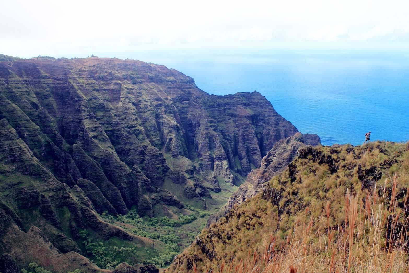
Kōke‘e, Kaua‘i
https://mauinow.com/2019/12/26/coast...na-pali-coast/
On a surreal note, I was just informed by my friend from high school that his family was on the Safari flight prior to the incident.
He explained they left from Lihue and did a clockwise tour over the canyon and down into the valley and right turn around the Napali over to the North and back to the airport. He said a cold front was approaching Waimea Canyon as they left. Paul was his pilot...I'm looking at a picture of them in front of the Heli now.....Crazy
If I learn more I'll post...
Join Date: Jul 2005
Location: USA
Posts: 46
Likes: 0
Received 0 Likes
on
0 Posts
All operators, so 8 to 12 choppers in flight at the time... (see FR24 history logs, or whatever...).
Check for :
N963SA 1995 - EUROCOPTER AS 350 B2, Serial #: 2855
N964SA 1996 - EUROCOPTER AS 350 B2, Serial #: 2931
N985SA 1998 - EUROCOPTER AS 350 B2, Serial #: 3111
N702SA 2002 - EUROCOPTER AS 350 B2, Serial #: 3551
Check for :
N963SA 1995 - EUROCOPTER AS 350 B2, Serial #: 2855
N964SA 1996 - EUROCOPTER AS 350 B2, Serial #: 2931
N985SA 1998 - EUROCOPTER AS 350 B2, Serial #: 3111
N702SA 2002 - EUROCOPTER AS 350 B2, Serial #: 3551
ELT's, CPI's, ADELT's, PLB's, EPIRB's etc are all meant to provide a means of locating someone in distress, particularly in remote areas / areas lacking in radio coverage. We know that despite all the possibilities to carry such devices, they often fail to work on the day, for whatever reason....
I think we place too much regulatory reliance on devices we know do not ensure success in rapidly locating when required.
I think we place too much regulatory reliance on devices we know do not ensure success in rapidly locating when required.
mjb
Join Date: Nov 2013
Location: .
Posts: 19
Likes: 0
Received 0 Likes
on
0 Posts
Of course GSM based trackers would be of no use. Has to be sat tracker, out if which really only the Iridium sat network really works. Spidertracks, Garmin inReach and many other providers build sat trackers that use the Iridium sat network.
We use inReach, with a tracking interval of 1 min. I believe on Spidertracks you can also specify a 1 min interval. For helicopter ops I definitely recommend a shorter interval.
ELT: Analysis of dozens of accident reports show that an ELT only successfully works in about 1/3 of crashes. In the other 2/3 of cases it either doesn�t transmit, or the transmission is not received. (Others above have depicted some scenarios how this can happen. No need for me to repeat.)
Join Date: Apr 2012
Location: Italy
Age: 36
Posts: 33
Likes: 0
Received 0 Likes
on
0 Posts
Spidetracks
Indeed,
my Company uses Spidertracks on the entire fleet. It is GPS based, it has a "panic button", a watch function and an auto-message capability. The 2 minutes standard position report can be reduced down to "continuously" (10s pings) and the position may be requested by the Operations Officers by selecting the helicopter you need to track and press a button at any time. It has a flight path deviation auto alert that you may set based on your company's decisions (variation in altitude, heading and speed within a preset time frame).
I'm the Safety Manager here and I feel well more comfortable knowing that we can track every helicopter at any time and everywhere in the World. However, this doesn't change the survivability of a crash nor the possibility to rush emergency teams in poor weather conditions.
So - yes - it is a good thing to have and may be really helpful in some situations but - no - it doesn't make a real difference in any possible scenario.
Sad story, by the way.
PE
Sadly, the best tracker in the world won't prevent helicopters crashing in poor weather. RIP
Join Date: Apr 2010
Location: USA
Posts: 850
Likes: 0
Received 0 Likes
on
0 Posts
6 bodies found and recovered. Still working on the seventh. Some additional details as well.
https://apnews.com/4280a7415668d12f72a939865731da6a
https://apnews.com/4280a7415668d12f72a939865731da6a
Avoid imitations
Join Date: Nov 2000
Location: Wandering the FIR and cyberspace often at highly unsociable times
Posts: 14,573
Received 415 Likes
on
218 Posts
ELT's, CPI's, ADELT's, PLB's, EPIRB's etc are all meant to provide a means of locating someone in distress, particularly in remote areas / areas lacking in radio coverage. We know that despite all the possibilities to carry such devices, they often fail to work on the day, for whatever reason.
Satellite tracking, with adequate monitoring of flightpath, seems a far more reliable method of directing SAR to the necessary location. Simply because where the signal /track stops the aircraft will be located within a 3 minute radius. It can also have an emergency mode if the crew are aware of an emergency.
I think we place too much regulatory reliance on devices we know do not ensure success in rapidly locating when required.
Join Date: Jul 2005
Location: USA
Posts: 46
Likes: 0
Received 0 Likes
on
0 Posts
I believe I read in one of the reports that they had GPS tracking. It might be how they found the wreckage so quickly. Yet, they are slow to disseminate the facts. In my experience, Hawaii in particular doesn't like to release information....Suppression more than transparency....
Join Date: Mar 2006
Location: USA ex-pat
Age: 62
Posts: 55
Likes: 0
Received 0 Likes
on
0 Posts
Inhospitable terrain
ELT operability is one thing but flight over inhospitable terrain is quite another when there is no where to go should something go wrong.
I haven't flown in Hawaii but have flown over extremely remote parts of South America where the reality was that even at altitude (5-9,000ft agl), any forced landing would likely be pretty dire. If you were fortunate enough to survive a 200 ft canopy, unknown terrain or find a gap, it would likely be a while before getting out of there. In addition to an ELT', we carried Epirbs and I had a Breitling emergency, but an equally trusted piece of gear (at least in my mind) was probably the sat phone and spare batteries should we be lucky enough to get down The point is that there is some terrain where all the emergency comms. gear in the world 'may' help, but the risk of what we are flying over is high enough that a forced landing would likely result in a recovery operation only.
I am aware of at least one company that did some risk analysis on NVG flights over inhospitable terrain but when it came to determination of what constitutes inhospitable terrain for forced landings (pilots were surveyed and routes studied), no one could get anywhere without significant circumnavigation and the effort was dropped with some very vague guidance.
Join Date: Jul 2005
Location: USA
Posts: 46
Likes: 0
Received 0 Likes
on
0 Posts
Join Date: Nov 2013
Location: .
Posts: 19
Likes: 0
Received 0 Likes
on
0 Posts
ELT: Analysis of dozens of accident reports show that an ELT only successfully works in about 1/3 of crashes. In the other 2/3 of cases it either doesn�t transmit, or the transmission is not received. (Others above have depicted some scenarios how this can happen. No need for me to repeat.)
Join Date: Jul 2013
Location: In a Pineapple Under the Sea
Age: 61
Posts: 152
Likes: 0
Received 0 Likes
on
0 Posts
the weather here Christmas Eve was awful. We all received emergency warnings of flooding, high winds and rains. High winds and rains continued on and off Thursday.
as you know - and for the benefit of others, you experience several micro-climates on the short drive from Waimea to the top of the canyon. Friday it was warm and sunny in Waimea and 25 degrees cooler and raining at the lookout. The trade winds were blowing the rain up the valley towards the north all day. I�d imagine Thursday was quite a weather day along the coast.
there are few, if any, tour boats up the coast this week. With the winds - the water has been too rough on the west and north coast and most boats have stayed on the south shore off of Lawai.
Prayers to those who lost their lives.
here�s the Nualolo valley on a nice clear day.