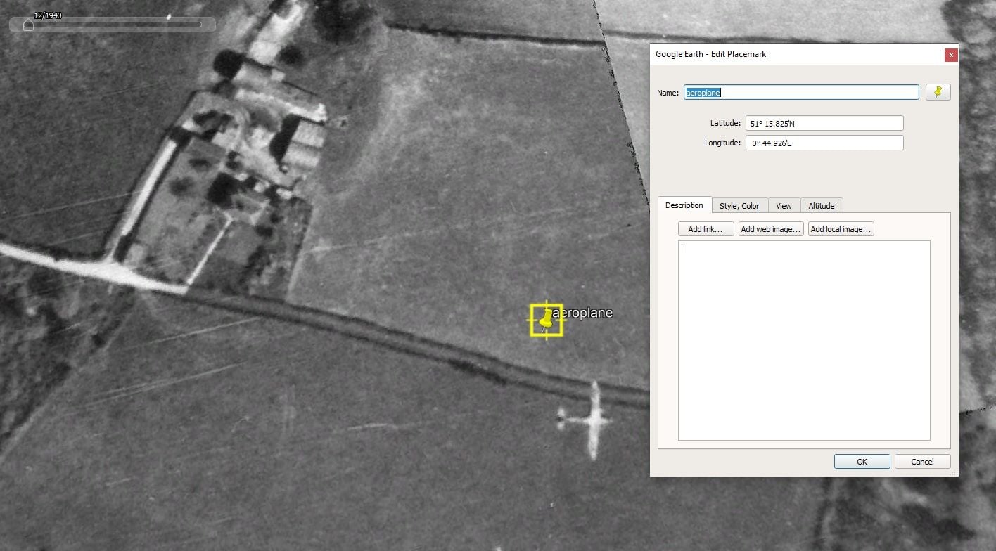
Please could I be indulged once again with a mysterious photograph (hopefully attached and displayed here)
I was using GoogleEarth's historical imagery facility to do a bit of research of a favourite area in Kent, when I noticed that one of the aerial photographs had captured an aircraft (presumably in flight) below the camera. Google Earth shows the date of the images as a rather suspiciously start-of-decade 1/1/1940. I am pretty sure that the true date of this series of mosaiced photographs is after the end of hostilities.
Could the assimilated brainpower of those on the forum please assist with a most likely aircraft identification for this one in the screenshot please?
exact location of this is
51° 15.825'N
0° 44.926'E
ie, parish of Wichling, between the villages of Doddington and Lenham in Kent.
 mystery aircraft appearing in aerosurvey googleearth near Doddington