Oldaircrew commented regarding the use of "monitored approach", which many regular readers will know I totally support. While I’m always reluctant to assume too much before a full report is issued, the preliminary report seems to be clear that in this event the crew flew straight through (what they believed to be) the MDA at a constant descent rate of 12 ft/sec, without any visual references. It appears that the need for a go-around was not manifested for a further 6 seconds (72 ft further descent), when the Captain disconnected the autopilot and made a nose-up input, but a full go-around was not initiated for a further 3 seconds when TOGA was applied. So even if the altimeters had been set correctly obstacle clearance would have been infringed – at the lowest point the aircraft was 123 feet below the MDA in full IMC. From the Captain’s actions (autopilot disconnect and stick back and then TOGA power 3 seconds later) it seems likely that he was not mentally prepared for a go-around.
So regardless of the altimetry issue, we have a prima facie serious breach of AOM in that the aircraft descended below the MDA without the Captain having seen visual cues which had [already] “been in view for sufficient time for the pilot to have made an assessment of the aircraft position and rate of change of position in relation to the desired flight path.” (ICAO definition of reqjired visual refernce).
If a monitored approach procedure had been in use it is LIKELY that the go-around would have occurred much earlier, with the F/O flying the go-around for which he/she had been fully prepared, while the Captain would have been seeking visual references prior reaching MDA and responding to a “Decide” call AT MDA. Speculatively only, it’s also possible that as the pilot operating the radio would have been the Captain, the initial incorrect QNH from ATC would have have been more readily queried.
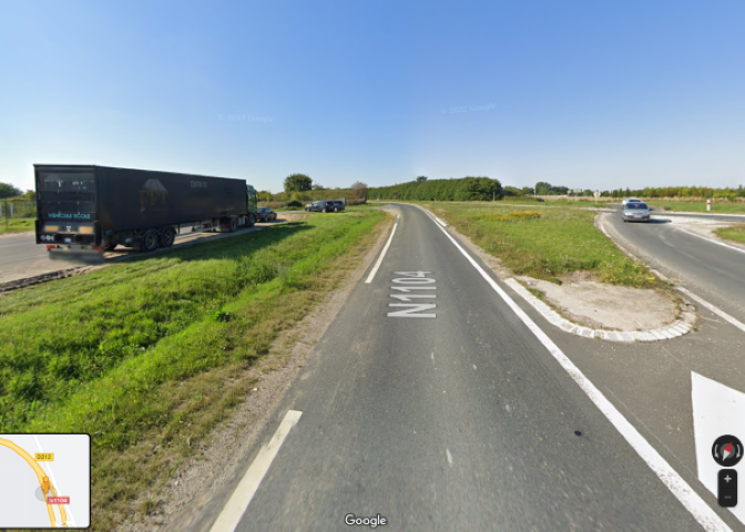
There’s also a (probably irrelevant) discrepancy in that the preliminary report text says the lowest point reached was 0.8nm from the threshold. This places it very close to the Route Nationale N1104, while the Google map trace provided puts it a further 0.2 nm away on the far side of a field. Depending on which is correct, there’s clearly the possibility of the aircraft hitting vehicles at an RA of 6ft.