Originally Posted by
Toryu
The picture we're seeing on avherald has been shot with a telelens and only shows a narrow section of the surroundings. I'd say it's shot about 20 degrees downslope and thus gives the illusion of relatively flat terrain.
The german Wiki-article shows this picture of the crash-area landscape:
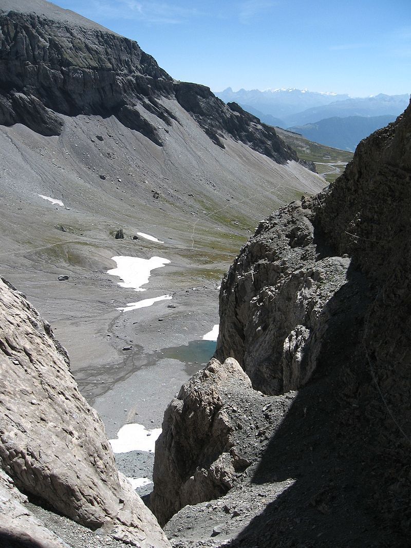
The crash-site would be between left of the two distinctive boulders in the center/ center-left of the picture.
They would have been flying upslope (to the right) this valley, probably trying to get over the pass:

Note: Since I can't post direct URLs now, you'll have to go the hard way, copy the links into your browser and edit-out the space between "h" and the rest of the link.
Can anybody confirm (or deny) this routing?
Re-posted with images.
Last edited by jimjim1; 5th Aug 2018 at 17:19.